Velyka Bahachka night lights from space
Night Light of Velyka Bahachka (Poltava) from space (Ukraine) Src. Average luminocity for 10x10km area is 0% and for 50x50km: 0.336%.
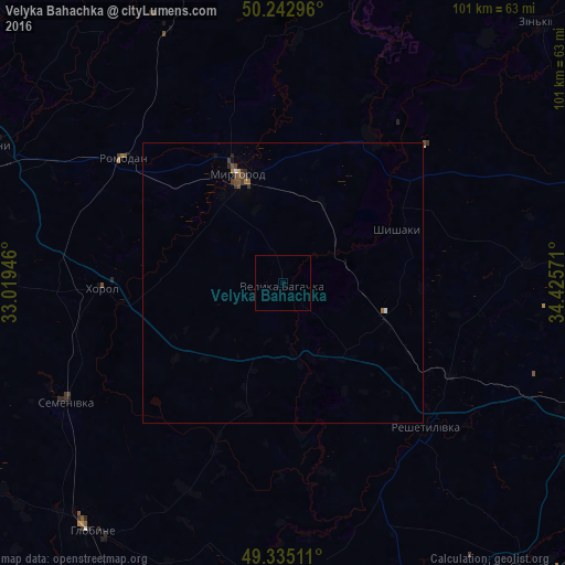
Analysis of Velyka Bahachka night lights 2016
Square area 10x10 km:
 0%
0%90-99
0%80-89
0%70-79
0%60-69
0%50-59
0%40-49
0%30-39
0%20-29
0%10-19
0%0-9
100%Square area 50x50 km:
0.02%90-99
0.02%80-89
0.02%70-79
0.01%60-69
0.1%50-59
0.06%40-49
0.14%30-39
0.1%20-29
0.08%10-19
0.03%0-9
99.42%Clear (daylight) street map image can be seen on geolist.org.
Map coordinates:
50° 14' 34.7" North, 33° 1' 10.1" East
49° 47' 28.2" North, 33° 43' 21.3" East
49° 20' 6.4" North, 34° 25' 32.6" East
Some cities around Velyka Bahachka sort by population:
• Lubny
57.7 km =35.9 mi,  295°
295°
• Myrhorod
21.3 km =13.2 mi,  337°
337°
• Khorol
31.9 km =19.8 mi,  268°
268°
• Hlobyne
55.9 km =34.7 mi,  216°
216°
• Reshetylivka
35.9 km =22.3 mi,  134°
134°
• Dykan’ka
57.9 km =36 mi,  86°
86°
• Semenivka
44.9 km =27.9 mi,  240°
240°
• Shyshaky
23 km =14.3 mi,  64°
64°
690285 (p: 5,707)
Sources (retrieved 2019-11-25):
» Earth at Night: Flat Maps 2012, 2016