Khorol night lights from space
Night Light of Khorol (Poltava) from space (Ukraine) Src. Average luminocity for 10x10km area is 0.4813% and for 50x50km: 0.3679%.
Analysis of Khorol night lights 2016
Square area 10x10 km:
 0%
0%90-99
0%80-89
0%70-79
0%60-69
0%50-59
0%40-49
0.53%30-39
0%20-29
0.53%10-19
0.4%0-9
98.53%Square area 50x50 km:
0.02%90-99
0.01%80-89
0.03%70-79
0.01%60-69
0.08%50-59
0.06%40-49
0.19%30-39
0.15%20-29
0.15%10-19
0.05%0-9
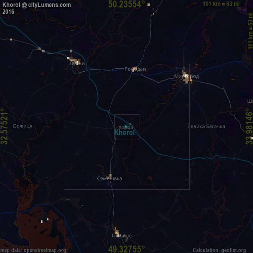
99.27%Clear (daylight) street map image can be seen on geolist.org.
Map coordinates:
50° 14' 7.9" North, 32° 34' 30.8" East
49° 47' 1.2" North, 33° 16' 42" East
49° 19' 39.2" North, 33° 58' 53.3" East
Some cities around Khorol sort by population:
• Lubny
32.8 km =20.4 mi,  322°
322°
• Myrhorod
31.4 km =19.5 mi,  49°
49°
• Hlobyne
44 km =27.3 mi,  181°
181°
• Reshetylivka
62.5 km =38.8 mi,  112°
112°
• Hradyz’k
61.9 km =38.5 mi,  189°
189°
• Semenivka
22.6 km =14 mi,  198°
198°
• Velyka Bahachka
31.9 km =19.8 mi,  88°
88°
• Shyshaky
53.7 km =33.4 mi,  78°
78°
706289 (p: 14,117)
Sources (retrieved 2019-11-25):
» Earth at Night: Flat Maps 2012, 2016