Semenivka night lights from space
Night Light of Semenivka (Poltava) from space (Ukraine) Src. Average luminocity for 10x10km area is 1.1008% and for 50x50km: 0.2402%.
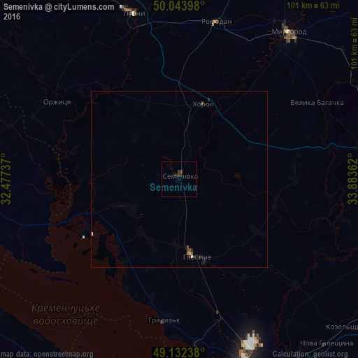
Analysis of Semenivka night lights 2016
Square area 10x10 km:
 0%
0%90-99
0%80-89
0%70-79
0%60-69
0%50-59
0%40-49
0.14%30-39
1.4%20-29
1.82%10-19
0%0-9
96.64%Square area 50x50 km:
0.04%90-99
0.01%80-89
0%70-79
0.02%60-69
0.02%50-59
0.07%40-49
0.03%30-39
0.11%20-29
0.18%10-19
0.06%0-9
99.47%Clear (daylight) street map image can be seen on geolist.org.
Map coordinates:
50° 2' 38.3" North, 32° 28' 38.5" East
49° 35' 25.1" North, 33° 10' 49.8" East
49° 7' 56.6" North, 33° 53' 1" East
Some cities around Semenivka sort by population:
• Kremenchuk
60.6 km =37.7 mi,  163°
163°
• Lubny
49.2 km =30.6 mi,  344°
344°
• Svitlovods’k
60.4 km =37.5 mi,  175°
175°
• Myrhorod
52.1 km =32.4 mi,  36°
36°
• Khorol
22.6 km =14 mi,  18°
18°
• Hlobyne
23.2 km =14.4 mi,  165°
165°
• Hradyz’k
39.7 km =24.7 mi, 184°
• Velyka Bahachka
44.9 km =27.9 mi,  60°
60°
694603 (p: 7,305)
Sources (retrieved 2019-11-25):
» Earth at Night: Flat Maps 2012, 2016