Reshetylivka night lights from space
Night Light of Reshetylivka (Poltava) from space (Ukraine) Src. Average luminocity for 10x10km area is 0% and for 50x50km: 0.0756%.
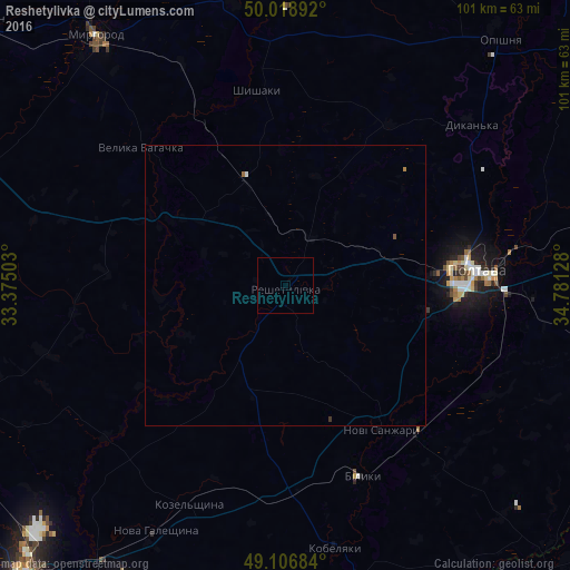
Analysis of Reshetylivka night lights 2016
Square area 10x10 km:
 0%
0%90-99
0%80-89
0%70-79
0%60-69
0%50-59
0%40-49
0%30-39
0%20-29
0%10-19
0%0-9
100%Square area 50x50 km:
0.01%90-99
0.02%80-89
0%70-79
0%60-69
0.05%50-59
0.02%40-49
0%30-39
0.02%20-29
0%10-19
0%0-9
99.89%Clear (daylight) street map image can be seen on geolist.org.
Map coordinates:
50° 1' 8.1" North, 33° 22' 30.1" East
49° 33' 54" North, 34° 4' 41.3" East
49° 6' 24.6" North, 34° 46' 52.6" East
Some cities around Reshetylivka sort by population:
• Poltava
33.5 km =20.8 mi,  84°
84°
• Myrhorod
56.1 km =34.9 mi,  323°
323°
• Kobelyaky
47.1 km =29.3 mi,  169°
169°
• Novi Sanzhary
29.8 km =18.5 mi,  145°
145°
• Dykan’ka
43.4 km =27 mi,  48°
48°
• Oposhnya
58 km =36 mi,  41°
41°
• Velyka Bahachka
35.9 km =22.3 mi,  314°
314°
• Shyshaky
35.5 km =22.1 mi,  352°
352°
695643 (p: 9,336)
Sources (retrieved 2019-11-25):
» Earth at Night: Flat Maps 2012, 2016