Shyshaky night lights from space
Night Light of Shyshaky (Poltava) from space (Ukraine) Src. Average luminocity for 10x10km area is 0% and for 50x50km: 0.0757%.
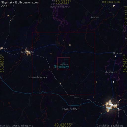
Analysis of Shyshaky night lights 2016
Square area 10x10 km:
 0%
0%90-99
0%80-89
0%70-79
0%60-69
0%50-59
0%40-49
0%30-39
0%20-29
0%10-19
0%0-9
100%Square area 50x50 km:
0.02%90-99
0.02%80-89
0%70-79
0%60-69
0.02%50-59
0%40-49
0.02%30-39
0.02%20-29
0.02%10-19
0%0-9
99.88%Clear (daylight) street map image can be seen on geolist.org.
Map coordinates:
50° 19' 57.7" North, 33° 18' 29" East
49° 52' 54.3" North, 34° 0' 40.2" East
49° 25' 35.6" North, 34° 42' 51.5" East
Some cities around Shyshaky sort by population:
• Poltava
49.7 km =30.9 mi,  130°
130°
• Myrhorod
30.4 km =18.9 mi,  288°
288°
• Khorol
53.7 km =33.4 mi,  258°
258°
• Zin’kiv
44.2 km =27.5 mi,  34°
34°
• Reshetylivka
35.5 km =22.1 mi,  172°
172°
• Dykan’ka
37.6 km =23.4 mi,  99°
99°
• Oposhnya
43.8 km =27.2 mi,  79°
79°
• Velyka Bahachka
23 km =14.3 mi,  244°
244°
694013 (p: 5,671)
Sources (retrieved 2019-11-25):
» Earth at Night: Flat Maps 2012, 2016