Lubny night lights from space
Night Light of Lubny (Poltava) from space (Ukraine) Src. Average luminocity for 10x10km area is 5.4188% and for 50x50km: 0.3038%.
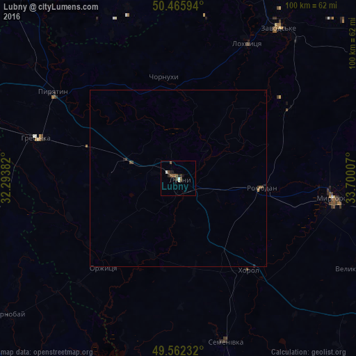
Analysis of Lubny night lights 2016
Square area 10x10 km:
 0.28%
0.28%90-99
0.84%80-89
0.28%70-79
0%60-69
0.56%50-59
2.94%40-49
0.98%30-39
0.84%20-29
1.68%10-19
1.54%0-9
90.06%Square area 50x50 km:
0.01%90-99
0.03%80-89
0.01%70-79
0%60-69
0.07%50-59
0.12%40-49
0.09%30-39
0.09%20-29
0.09%10-19
0.07%0-9
99.42%Clear (daylight) street map image can be seen on geolist.org.
Map coordinates:
50° 27' 57.4" North, 32° 17' 37.8" East
50° 0' 58.5" North, 32° 59' 49" East
49° 33' 44.4" North, 33° 42' 0.3" East
Some cities around Lubny sort by population:
• Myrhorod
44.1 km =27.4 mi,  96°
96°
• Pyriatyn
43.1 km =26.8 mi,  305°
305°
• Khorol
32.8 km =20.4 mi,  142°
142°
• Lokhvytsya
43.3 km =26.9 mi,  25°
25°
• Hrebinka
41.6 km =25.8 mi,  285°
285°
• Varva
56.8 km =35.3 mi,  339°
339°
• Semenivka
49.2 km =30.6 mi,  164°
164°
• Velyka Bahachka
57.7 km =35.9 mi,  115°
115°
702723 (p: 52,600)
Sources (retrieved 2019-11-25):
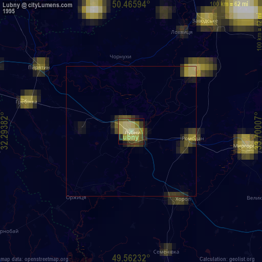
» NASA, Earths city lights 1995
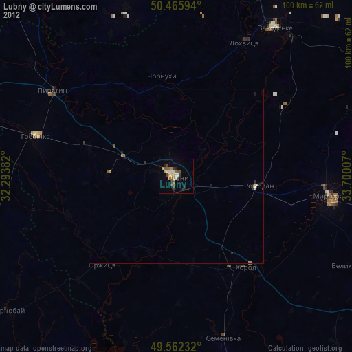
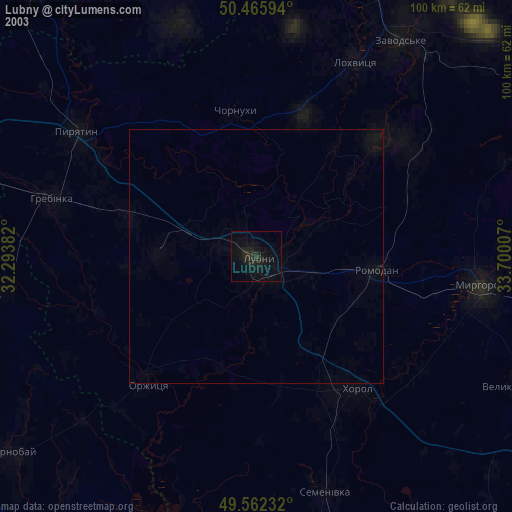
» NASA city lights 2003
» Earth at Night: Flat Maps 2012, 2016