Zhashkiv night lights from space
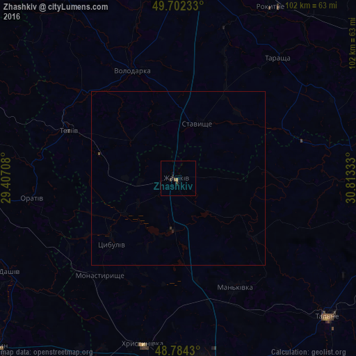
Night Light of Zhashkiv (Cherkasy) from space (Ukraine) Src. Average luminocity for 10x10km area is 1.3596% and for 50x50km: 0.0806%.
Analysis of Zhashkiv night lights 2016
Square area 10x10 km:
 0%
0%90-99
0%80-89
0%70-79
0.53%60-69
0%50-59
0%40-49
0.8%30-39
0.8%20-29
0.53%10-19
0.4%0-9
96.93%Square area 50x50 km:
0%90-99
0%80-89
0%70-79
0.02%60-69
0%50-59
0%40-49
0.06%30-39
0.06%20-29
0.03%10-19
0.03%0-9
99.8%Clear (daylight) street map image can be seen on geolist.org.
Map coordinates:
49° 42' 8.4" North, 29° 24' 25.5" East
49° 14' 43.6" North, 30° 6' 36.7" East
48° 47' 3.5" North, 30° 48' 48" East
Some cities around Zhashkiv sort by population:
• Uman
55.9 km =34.7 mi,  171°
171°
• Tetiiv
35.4 km =22 mi,  294°
294°
• Khrystynivka
48.8 km =30.3 mi,  191°
191°
• Tarashcha
44.4 km =27.6 mi,  38°
38°
• Monastyryshche
36 km =22.4 mi,  218°
218°
• Mankivka
35.3 km =21.9 mi,  152°
152°
• Lysianka
52.2 km =32.4 mi,  89°
89°
• Volodarka
34.2 km =21.3 mi,  335°
335°
687245 (p: 15,264)
Sources (retrieved 2019-11-25):
» Earth at Night: Flat Maps 2012, 2016