Novoarkhanhel’s’k night lights from space
Night Light of Novoarkhanhel’s’k (Kirovohrad) from space (Ukraine) Src. Average luminocity for 10x10km area is 0.3973% and for 50x50km: 0.0611%.
Analysis of Novoarkhanhel’s’k night lights 2016
Square area 10x10 km:
 0%
0%90-99
0%80-89
0%70-79
0%60-69
0%50-59
0%40-49
0%30-39
0%20-29
1.19%10-19
0.6%0-9
98.21%Square area 50x50 km:
0%90-99
0%80-89
0%70-79
0%60-69
0%50-59
0%40-49
0.05%30-39
0%20-29
0.07%10-19
0.05%0-9
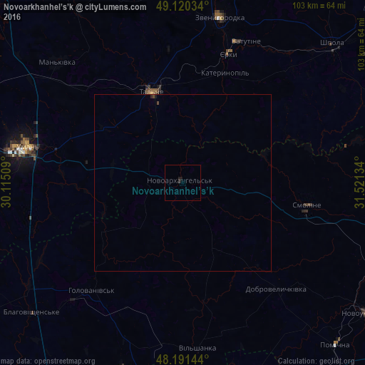
99.84%Clear (daylight) street map image can be seen on geolist.org.
Map coordinates:
49° 7' 13.2" North, 30° 6' 54.3" East
48° 39' 28.9" North, 30° 49' 5.6" East
48° 11' 29.2" North, 31° 31' 16.8" East
Some cities around Novoarkhanhel’s’k sort by population:
• Uman
44.9 km =27.9 mi,  282°
282°
• Vatutine
43.5 km =27 mi,  24°
24°
• Zvenihorodka
48 km =29.8 mi,  13°
13°
• Shpola
57.3 km =35.6 mi,  47°
47°
• Talne
27.2 km =16.9 mi,  340°
340°
• Mala Vyska
60.1 km =37.3 mi,  91°
91°
• Mankivka
49.1 km =30.5 mi,  313°
313°
• Pobugskoye
57.2 km =35.5 mi,  196°
196°
699680 (p: 7,624)
Sources (retrieved 2019-11-25):
» Earth at Night: Flat Maps 2012, 2016