Novomyrhorod night lights from space
Night Light of Novomyrhorod (Kirovohrad) from space (Ukraine) Src. Average luminocity for 10x10km area is 0.1364% and for 50x50km: 0.0835%.
Analysis of Novomyrhorod night lights 2016
Square area 10x10 km:
 0%
0%90-99
0%80-89
0%70-79
0%60-69
0%50-59
0%40-49
0%30-39
0%20-29
0.57%10-19
0%0-9
99.43%Square area 50x50 km:
0%90-99
0%80-89
0%70-79
0%60-69
0%50-59
0%40-49
0.07%30-39
0.08%20-29
0.06%10-19
0.03%0-9
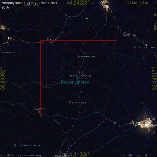
99.76%Clear (daylight) street map image can be seen on geolist.org.
Map coordinates:
49° 14' 32" North, 30° 56' 20.1" East
48° 46' 51.8" North, 31° 38' 31.3" East
48° 18' 56.1" North, 32° 20' 42.6" East
Some cities around Novomyrhorod sort by population:
• Kropyvnytskyi
54.3 km =33.7 mi,  123°
123°
• Smila
52.2 km =32.4 mi,  20°
20°
• Vatutine
49.7 km =30.9 mi,  301°
301°
• Shpola
30.9 km =19.2 mi,  324°
324°
• Novoukrayinka
51.2 km =31.8 mi,  189°
189°
• Kamianka
43.8 km =27.2 mi,  50°
50°
• Mala Vyska
15.3 km =9.5 mi,  181°
181°
• Oleksandrivka
47.9 km =29.8 mi,  64°
64°
699453 (p: 12,728)
Sources (retrieved 2019-11-25):
» Earth at Night: Flat Maps 2012, 2016