Zvenihorodka night lights from space
Night Light of Zvenihorodka (Cherkasy) from space (Ukraine) Src. Average luminocity for 10x10km area is 4.4314% and for 50x50km: 0.5162%.
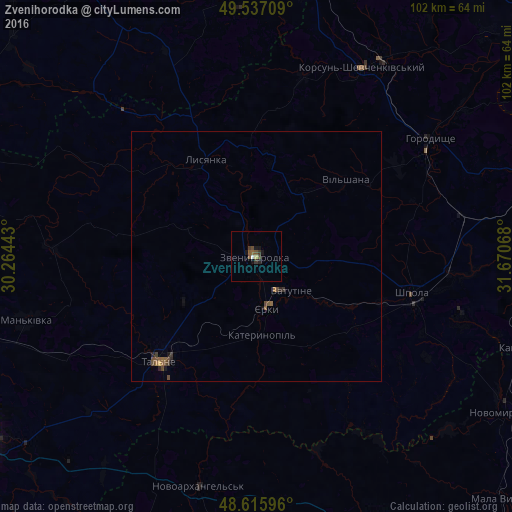
Analysis of Zvenihorodka night lights 2016
Square area 10x10 km:
 0.28%
0.28%90-99
0.28%80-89
0.42%70-79
0.14%60-69
0.14%50-59
1.68%40-49
1.54%30-39
1.68%20-29
0.56%10-19
2.8%0-9
90.48%Square area 50x50 km:
0.01%90-99
0.01%80-89
0.03%70-79
0.02%60-69
0.08%50-59
0.21%40-49
0.25%30-39
0.16%20-29
0.11%10-19
0.19%0-9
98.93%Clear (daylight) street map image can be seen on geolist.org.
Map coordinates:
49° 32' 13.5" North, 30° 15' 51.9" East
49° 4' 43.2" North, 30° 58' 3.2" East
48° 36' 57.5" North, 31° 40' 14.4" East
Some cities around Zvenihorodka sort by population:
• Vatutine
9.9 km =6.2 mi,  135°
135°
• Korsun-Shevchenkivskyi
43.3 km =26.9 mi,  29°
29°
• Shpola
32.1 km =19.9 mi,  104°
104°
• Talne
29 km =18 mi,  223°
223°
• Horodyshche
41.6 km =25.8 mi,  56°
56°
• Mankivka
48 km =29.8 mi,  254°
254°
• Lysianka
21.8 km =13.5 mi,  332°
332°
• Novoarkhanhel’s’k
48 km =29.8 mi,  193°
193°
686803 (p: 19,161)
Sources (retrieved 2019-11-25):
» Earth at Night: Flat Maps 2012, 2016