Lysianka night lights from space
Night Light of Lysianka (Cherkasy) from space (Ukraine) Src. Average luminocity for 10x10km area is 0% and for 50x50km: 0.1899%.
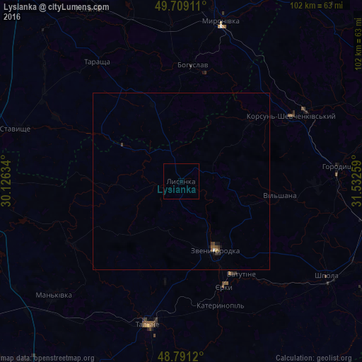
Analysis of Lysianka night lights 2016
Square area 10x10 km:
 0%
0%90-99
0%80-89
0%70-79
0%60-69
0%50-59
0%40-49
0%30-39
0%20-29
0%10-19
0%0-9
100%Square area 50x50 km:
0.01%90-99
0.01%80-89
0.02%70-79
0.01%60-69
0.01%50-59
0.07%40-49
0.07%30-39
0.08%20-29
0.02%10-19
0.11%0-9
99.6%Clear (daylight) street map image can be seen on geolist.org.
Map coordinates:
49° 42' 32.8" North, 30° 7' 34.8" East
49° 15' 8.2" North, 30° 49' 46.1" East
48° 47' 28.3" North, 31° 31' 57.3" East
Some cities around Lysianka sort by population:
• Vatutine
31.3 km =19.4 mi,  147°
147°
• Zvenihorodka
21.8 km =13.5 mi, 152°
• Korsun-Shevchenkivskyi
36.2 km =22.5 mi,  59°
59°
• Bohuslav
33.2 km =20.6 mi,  5°
5°
• Talne
41.6 km =25.8 mi,  193°
193°
• Horodyshche
44.8 km =27.8 mi,  85°
85°
• Tarashcha
41.9 km =26 mi,  324°
324°
• Myronivka
46.7 km =29 mi, 13°
702491 (p: 7,954)
Sources (retrieved 2019-11-25):
» Earth at Night: Flat Maps 2012, 2016