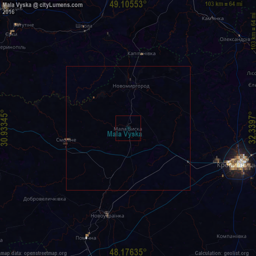
Mala Vyska night lights from space
Night Light of Mala Vyska (Kirovohrad) from space (Ukraine) Src. Average luminocity for 10x10km area is 0% and for 50x50km: 0.0581%.
Analysis of Mala Vyska night lights 2016
Square area 10x10 km:
 0%
0%90-99
0%80-89
0%70-79
0%60-69
0%50-59
0%40-49
0%30-39
0%20-29
0%10-19
0%0-9
100%Square area 50x50 km:
0%90-99
0%80-89
0%70-79
0%60-69
0%50-59
0%40-49
0.05%30-39
0.07%20-29
0.05%10-19
0%0-9
99.84%Clear (daylight) street map image can be seen on geolist.org.
Map coordinates:
49° 6' 19.9" North, 30° 56' 0.4" East
48° 38' 35.1" North, 31° 38' 11.7" East
48° 10' 34.9" North, 32° 20' 22.9" East
Some cities around Mala Vyska sort by population:
• Kropyvnytskyi
48.1 km =29.9 mi,  107°
107°
• Shpola
44.2 km =27.5 mi,  336°
336°
• Novoukrayinka
36.1 km =22.4 mi,  192°
192°
• Kamianka
55.1 km =34.2 mi,  38°
38°
• Novomyrhorod
15.3 km =9.5 mi,  1°
1°
• Oleksandrivka
56.5 km =35.1 mi,  50°
50°
• Pomichna
47.5 km =29.5 mi,  200°
200°
• Rivne
44.8 km =27.8 mi,  168°
168°
702147 (p: 12,644)
Sources (retrieved 2019-11-25):
» Earth at Night: Flat Maps 2012, 2016