Poltava night lights from space
Night Light of Poltava from space (Ukraine) Src. Average luminocity for 10x10km area is 40.9132% and for 50x50km: 2.2199%.
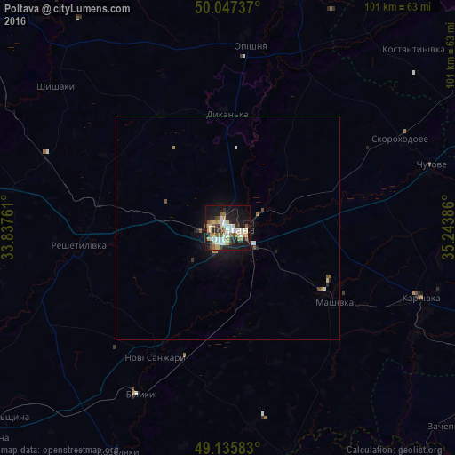
Analysis of Poltava night lights 2016
Square area 10x10 km:
 7.42%
7.42%90-99
7.14%80-89
7.42%70-79
4.2%60-69
6.3%50-59
3.22%40-49
4.76%30-39
3.64%20-29
11.2%10-19
32.35%0-9
12.32%Square area 50x50 km:
0.32%90-99
0.34%80-89
0.32%70-79
0.19%60-69
0.34%50-59
0.19%40-49
0.27%30-39
0.18%20-29
0.55%10-19
2.12%0-9
95.19%Clear (daylight) street map image can be seen on geolist.org.
Map coordinates:
50° 2' 50.5" North, 33° 50' 15.4" East
49° 35' 37.4" North, 34° 32' 26.6" East
49° 8' 9" North, 35° 14' 37.9" East
Some cities around Poltava sort by population:
• Karlivka
45.1 km =28 mi,  109°
109°
• Kotel’va
55.1 km =34.2 mi,  16°
16°
• Reshetylivka
33.5 km =20.8 mi,  264°
264°
• Novi Sanzhary
32.4 km =20.1 mi,  210°
210°
• Dykan’ka
25.7 km =16 mi,  357°
357°
• Chutove
46.8 km =29.1 mi,  73°
73°
• Oposhnya
40.7 km =25.3 mi,  7°
7°
• Shyshaky
49.7 km =30.9 mi,  310°
310°
696643 (p: 317,847)
Sources (retrieved 2019-11-25):
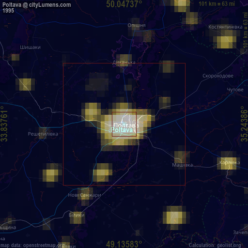
» NASA, Earths city lights 1995
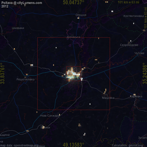
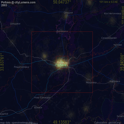
» NASA city lights 2003
» Earth at Night: Flat Maps 2012, 2016