Oposhnya night lights from space
Night Light of Oposhnya (Poltava) from space (Ukraine) Src. Average luminocity for 10x10km area is 0.8291% and for 50x50km: 0.1176%.
Analysis of Oposhnya night lights 2016
Square area 10x10 km:
 0.42%
0.42%90-99
0.14%80-89
0%70-79
0%60-69
0%50-59
0%40-49
0%30-39
0.56%20-29
0%10-19
0%0-9
98.88%Square area 50x50 km:
0.04%90-99
0.01%80-89
0%70-79
0%60-69
0.04%50-59
0.02%40-49
0.01%30-39
0.02%20-29
0.04%10-19
0%0-9
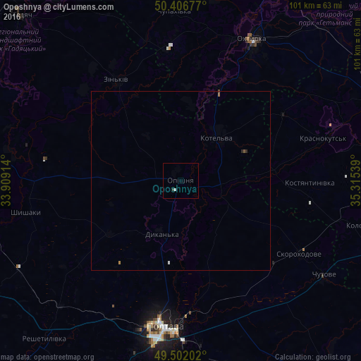
99.81%Clear (daylight) street map image can be seen on geolist.org.
Map coordinates:
50° 24' 24.4" North, 33° 54' 32.9" East
49° 57' 23.5" North, 34° 36' 44.1" East
49° 30' 7.3" North, 35° 18' 55.4" East
Some cities around Oposhnya sort by population:
• Poltava
40.7 km =25.3 mi,  187°
187°
• Okhtyrka
44.3 km =27.5 mi,  27°
27°
• Kotel’va
16.3 km =10.1 mi,  39°
39°
• Zin’kiv
33.1 km =20.6 mi,  327°
327°
• Krasnokuts’k
41.2 km =25.6 mi,  72°
72°
• Dykan’ka
15.8 km =9.8 mi,  202°
202°
• Chutove
48.2 km =30 mi,  124°
124°
• Shyshaky
43.8 km =27.2 mi,  259°
259°
698462 (p: 6,003)
Sources (retrieved 2019-11-25):
» Earth at Night: Flat Maps 2012, 2016