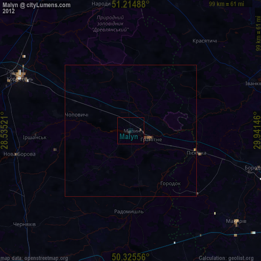
Malyn night lights from space
Night Light of Malyn (Zhytomyr) from space (Ukraine) Src. Average luminocity for 10x10km area is 0.1905% and for 50x50km: 0.0075%.
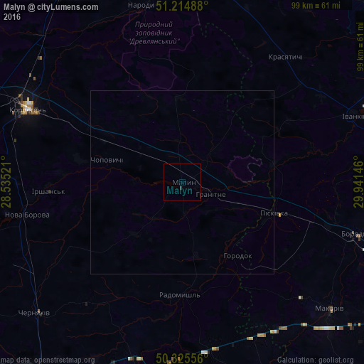
Analysis of Malyn night lights 2016
Square area 10x10 km:
 0%
0%90-99
0%80-89
0%70-79
0%60-69
0%50-59
0%40-49
0%30-39
0.28%20-29
0.28%10-19
0%0-9
99.44%Square area 50x50 km:
0%90-99
0%80-89
0%70-79
0%60-69
0%50-59
0%40-49
0%30-39
0.01%20-29
0.01%10-19
0%0-9
99.98%Clear (daylight) street map image can be seen on geolist.org.
Map coordinates:
51° 12' 53.6" North, 28° 32' 6.8" East
50° 46' 20.4" North, 29° 14' 18" East
50° 19' 32" North, 29° 56' 29.3" East
Some cities around Malyn sort by population:
• Korosten’
46.9 km =29.1 mi,  296°
296°
• Korostyshiv
52.2 km =32.4 mi,  194°
194°
• Radomyshl
30.7 km =19.1 mi,  181°
181°
• Borodianka
50.1 km =31.1 mi,  106°
106°
• Ivankiv
49.6 km =30.8 mi,  68°
68°
• Stavyshche
46.1 km =28.6 mi,  153°
153°
• Piskivka
28.2 km =17.5 mi, 108°
• Nova Borova
43.4 km =27 mi,  258°
258°
702116 (p: 27,068)
Sources (retrieved 2019-11-25):
» Earth at Night: Flat Maps 2012, 2016