Radomyshl night lights from space
Night Light of Radomyshl (Zhytomyr) from space (Ukraine) Src. Average luminocity for 10x10km area is 0% and for 50x50km: 0.5887%.
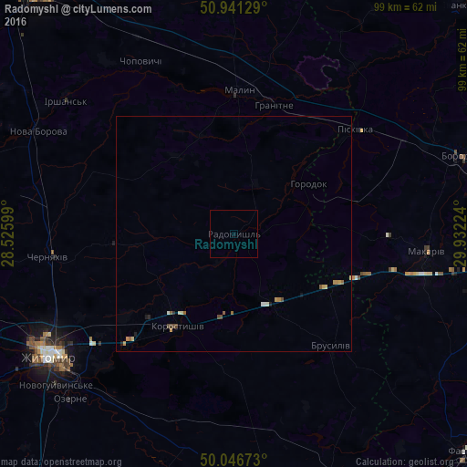
Analysis of Radomyshl night lights 2016
Square area 10x10 km:
 0%
0%90-99
0%80-89
0%70-79
0%60-69
0%50-59
0%40-49
0%30-39
0%20-29
0%10-19
0%0-9
100%Square area 50x50 km:
0.02%90-99
0.09%80-89
0.08%70-79
0.16%60-69
0.1%50-59
0.1%40-49
0.14%30-39
0.01%20-29
0.06%10-19
0.08%0-9
99.17%Clear (daylight) street map image can be seen on geolist.org.
Map coordinates:
50° 56' 28.6" North, 28° 31' 33.6" East
50° 29' 46.1" North, 29° 13' 44.8" East
50° 2' 48.2" North, 29° 55' 56.1" East
Some cities around Radomyshl sort by population:
• Zhytomyr
46.9 km =29.1 mi,  236°
236°
• Malyn
30.7 km =19.1 mi,  1°
1°
• Korostyshiv
23.4 km =14.5 mi,  211°
211°
• Makariv
41.3 km =25.7 mi,  94°
94°
• Cherniakhiv
39.8 km =24.7 mi,  263°
263°
• Stavyshche
23.7 km =14.7 mi,  116°
116°
• Piskivka
35.2 km =21.9 mi,  51°
51°
• Brusyliv
31.6 km =19.6 mi,  138°
138°
695912 (p: 15,252)
Sources (retrieved 2019-11-25):
» Earth at Night: Flat Maps 2012, 2016