Borodianka night lights from space
Night Light of Borodianka (Kyiv) from space (Ukraine) Src. Average luminocity for 10x10km area is 3.3717% and for 50x50km: 3.2467%.
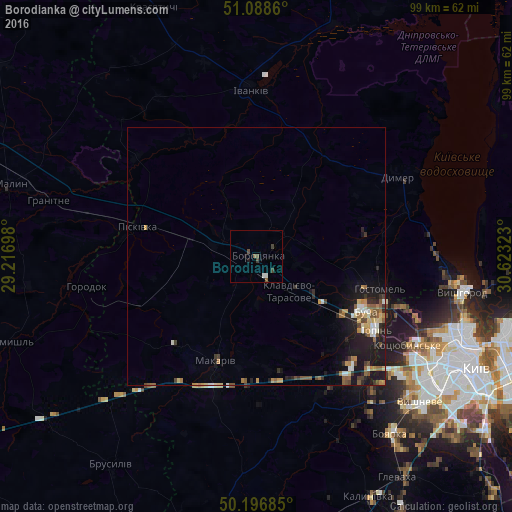
Analysis of Borodianka night lights 2016
Square area 10x10 km:
 0.67%
0.67%90-99
0.4%80-89
0%70-79
0%60-69
0%50-59
1.6%40-49
0.8%30-39
1.34%20-29
0%10-19
1.07%0-9
94.12%Square area 50x50 km:
0.29%90-99
0.4%80-89
0.35%70-79
0.45%60-69
0.53%50-59
0.6%40-49
0.45%30-39
0.48%20-29
0.72%10-19
3.22%0-9
92.5%Clear (daylight) street map image can be seen on geolist.org.
Map coordinates:
51° 5' 19" North, 29° 13' 1.1" East
50° 38' 41.4" North, 29° 55' 12.4" East
50° 11' 48.7" North, 30° 37' 23.6" East
Some cities around Borodianka sort by population:
• Bucha
23.5 km =14.6 mi,  118°
118°
• Irpin
27 km =16.8 mi, 120°
• Hostomel
25.8 km =16 mi,  109°
109°
• Makariv
21.5 km =13.4 mi,  200°
200°
• Vorzel’
19.9 km =12.4 mi, 124°
• Piskivka
21.9 km =13.6 mi,  284°
284°
• Dymer
31.2 km =19.4 mi,  59°
59°
• Horenka
30.7 km =19.1 mi, 108°
711635 (p: 12,069)
Sources (retrieved 2019-11-25):
» Earth at Night: Flat Maps 2012, 2016