Stavyshche night lights from space
Night Light of Stavyshche (Zhytomyr) from space (Ukraine) Src. Average luminocity for 10x10km area is 4.6933% and for 50x50km: 0.8993%.
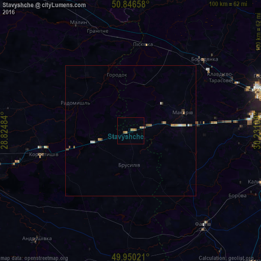
Analysis of Stavyshche night lights 2016
Square area 10x10 km:
 0%
0%90-99
0.28%80-89
1.12%70-79
2.52%60-69
0.84%50-59
0.56%40-49
0%30-39
0%20-29
0%10-19
0%0-9
94.68%Square area 50x50 km:
0.07%90-99
0.11%80-89
0.15%70-79
0.19%60-69
0.16%50-59
0.15%40-49
0.13%30-39
0.06%20-29
0.02%10-19
0.07%0-9
98.89%Clear (daylight) street map image can be seen on geolist.org.
Map coordinates:
50° 50' 47.7" North, 28° 49' 29.4" East
50° 24' 1.8" North, 29° 31' 40.7" East
49° 57' 0.8" North, 30° 13' 51.9" East
Some cities around Stavyshche sort by population:
• Fastiv
45.4 km =28.2 mi,  142°
142°
• Malyn
46.1 km =28.6 mi,  333°
333°
• Korostyshiv
34.7 km =21.6 mi,  254°
254°
• Radomyshl
23.7 km =14.7 mi,  296°
296°
• Borodianka
38.8 km =24.1 mi,  45°
45°
• Makariv
21.3 km =13.2 mi,  70°
70°
• Piskivka
33.2 km =20.6 mi,  11°
11°
• Brusyliv
12.9 km =8 mi,  180°
180°
692672 (p: 7,634)
Sources (retrieved 2019-11-25):
» Earth at Night: Flat Maps 2012, 2016