Korosten’ night lights from space
Night Light of Korosten’ (Zhytomyr) from space (Ukraine) Src. Average luminocity for 10x10km area is 16.1961% and for 50x50km: 0.7134%.
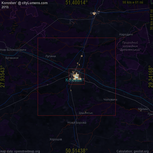
Analysis of Korosten’ night lights 2016
Square area 10x10 km:
 1.96%
1.96%90-99
1.4%80-89
1.96%70-79
2.8%60-69
2.66%50-59
2.38%40-49
2.52%30-39
0.56%20-29
3.5%10-19
10.64%0-9
69.61%Square area 50x50 km:
0.07%90-99
0.05%80-89
0.07%70-79
0.11%60-69
0.11%50-59
0.14%40-49
0.11%30-39
0.06%20-29
0.15%10-19
0.43%0-9
98.69%Clear (daylight) street map image can be seen on geolist.org.
Map coordinates:
51° 24' 0.5" North, 27° 56' 7.5" East
50° 57' 33.7" North, 28° 38' 18.8" East
50° 30' 51.8" North, 29° 20' 30" East
Some cities around Korosten’ sort by population:
• Zhytomyr
77.3 km =48 mi,  178°
178°
• Novohrad-Volynskyi
82.5 km =51.3 mi,  240°
240°
• Malyn
46.9 km =29.1 mi,  116°
116°
• Ovruch
42.2 km =26.2 mi,  15°
15°
• Radomyshl
66.2 km =41.1 mi,  141°
141°
• Cherniakhiv
56 km =34.8 mi, 177°
• Piskivka
74.9 km =46.5 mi,  113°
113°
• Nova Borova
29.6 km =18.4 mi, 180°
704901 (p: 65,000)
Sources (retrieved 2019-11-25):
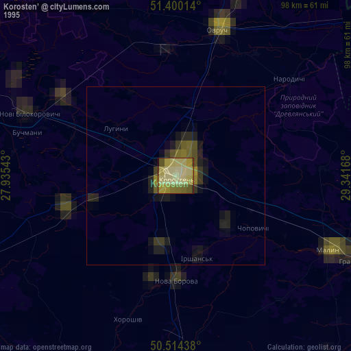
» NASA, Earths city lights 1995
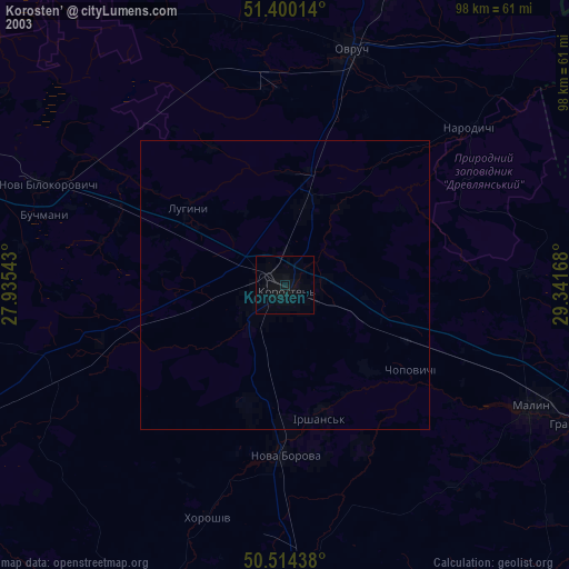
» NASA city lights 2003
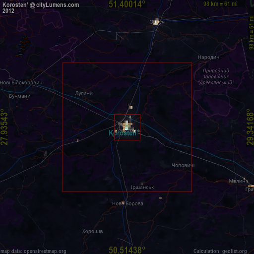
» Earth at Night: Flat Maps 2012, 2016