Korostyshiv night lights from space
Night Light of Korostyshiv (Zhytomyr) from space (Ukraine) Src. Average luminocity for 10x10km area is 4.0989% and for 50x50km: 0.9399%.
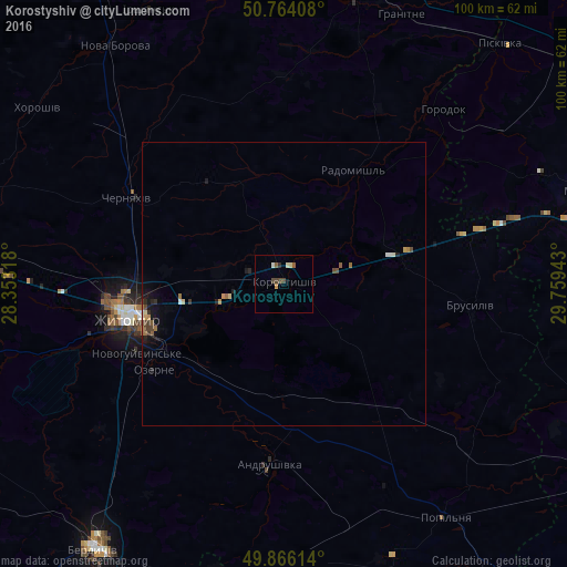
Analysis of Korostyshiv night lights 2016
Square area 10x10 km:
 0%
0%90-99
1.07%80-89
0.53%70-79
0.53%60-69
0%50-59
1.07%40-49
2.14%30-39
0.13%20-29
0.4%10-19
0%0-9
94.12%Square area 50x50 km:
0.03%90-99
0.14%80-89
0.09%70-79
0.11%60-69
0.18%50-59
0.16%40-49
0.23%30-39
0.14%20-29
0.19%10-19
0.45%0-9
98.28%Clear (daylight) street map image can be seen on geolist.org.
Map coordinates:
50° 45' 50.7" North, 28° 21' 11.4" East
50° 19' 2" North, 29° 3' 22.7" East
49° 51' 58.1" North, 29° 45' 33.9" East
Some cities around Korostyshiv sort by population:
• Zhytomyr
27.6 km =17.1 mi,  257°
257°
• Radomyshl
23.4 km =14.5 mi,  31°
31°
• Cherniakhiv
31.5 km =19.6 mi,  299°
299°
• Andrushivka
32.8 km =20.4 mi,  184°
184°
• Stavyshche
34.7 km =21.6 mi,  74°
74°
• Popilnia
49.4 km =30.7 mi,  145°
145°
• Ozerne
27.7 km =17.2 mi,  236°
236°
• Brusyliv
33.6 km =20.9 mi,  96°
96°
704885 (p: 25,099)
Sources (retrieved 2019-11-25):
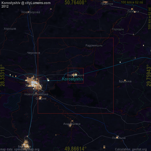
» Earth at Night: Flat Maps 2012, 2016