Ivankiv night lights from space
Night Light of Ivankiv (Kyiv) from space (Ukraine) Src. Average luminocity for 10x10km area is 1.1457% and for 50x50km: 0.0436%.
Analysis of Ivankiv night lights 2016
Square area 10x10 km:
 0.28%
0.28%90-99
0.84%80-89
0%70-79
0%60-69
0%50-59
0%40-49
0%30-39
0%20-29
0%10-19
0%0-9
98.88%Square area 50x50 km:
0.01%90-99
0.03%80-89
0%70-79
0%60-69
0%50-59
0%40-49
0%30-39
0%20-29
0%10-19
0%0-9
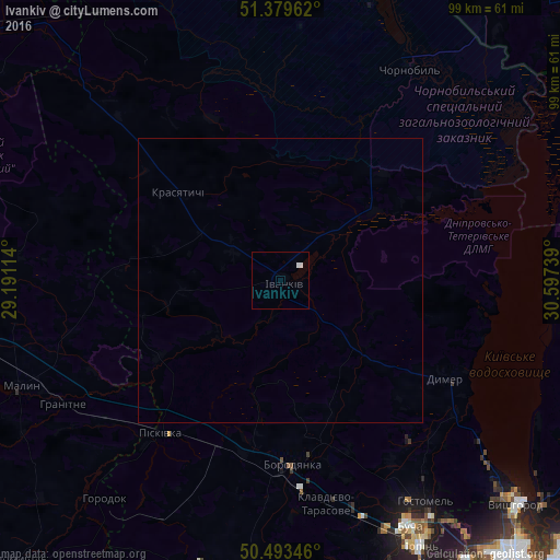
99.96%Clear (daylight) street map image can be seen on geolist.org.
Map coordinates:
51° 22' 46.6" North, 29° 11' 28.1" East
50° 56' 19.1" North, 29° 53' 39.3" East
50° 29' 36.5" North, 30° 35' 50.6" East
Some cities around Ivankiv sort by population:
• Bucha
49.3 km =30.6 mi,  153°
153°
• Malyn
49.6 km =30.8 mi,  248°
248°
• Hostomel
48.7 km =30.3 mi, 147°
• Borodianka
32.7 km =20.3 mi,  176°
176°
• Vorzel’
47.5 km =29.5 mi,  157°
157°
• Novi Petrivtsi
51.8 km =32.2 mi,  131°
131°
• Piskivka
33.4 km =20.8 mi,  215°
215°
• Dymer
33.3 km =20.7 mi,  120°
120°
707489 (p: 10,170)
Sources (retrieved 2019-11-25):
» Earth at Night: Flat Maps 2012, 2016