Shyryayeve night lights from space
Night Light of Shyryayeve (Odesa) from space (Ukraine) Src. Average luminocity for 10x10km area is 0.128% and for 50x50km: 0.0515%.
Analysis of Shyryayeve night lights 2016
Square area 10x10 km:
 0%
0%90-99
0%80-89
0%70-79
0%60-69
0%50-59
0%40-49
0%30-39
0%20-29
0.6%10-19
0%0-9
99.4%Square area 50x50 km:
0%90-99
0.02%80-89
0.01%70-79
0%60-69
0%50-59
0%40-49
0.02%30-39
0.03%20-29
0.05%10-19
0%0-9
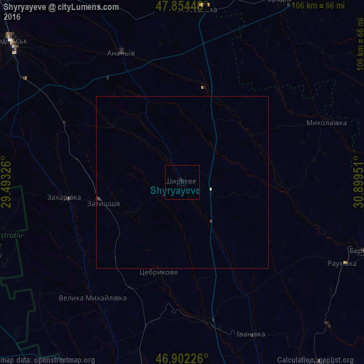
99.89%Clear (daylight) street map image can be seen on geolist.org.
Map coordinates:
47° 51' 16.1" North, 29° 29' 35.7" East
47° 22' 49.9" North, 30° 11' 47" East
46° 54' 8.1" North, 30° 53' 58.2" East
Some cities around Shyryayeve sort by population:
• Rozdil’na
60.4 km =37.5 mi,  188°
188°
• Vradiyivka
61.2 km =38 mi,  28°
28°
• Lyubashivka
51 km =31.7 mi,  5°
5°
• Berezivka
57.1 km =35.5 mi,  110°
110°
• Kryve Ozero
64.6 km =40.1 mi, 10°
• Velyka Mykhaylivka
42.1 km =26.2 mi,  217°
217°
• Okny
58.1 km =36.1 mi,  287°
287°
• Zakharivka
33.4 km =20.8 mi,  260°
260°
694016 (p: 7,018)
Sources (retrieved 2019-11-25):
» Earth at Night: Flat Maps 2012, 2016