Izyaslav night lights from space
Night Light of Izyaslav (Khmelnytskyi) from space (Ukraine) Src. Average luminocity for 10x10km area is 0.2032% and for 50x50km: 0.8914%.
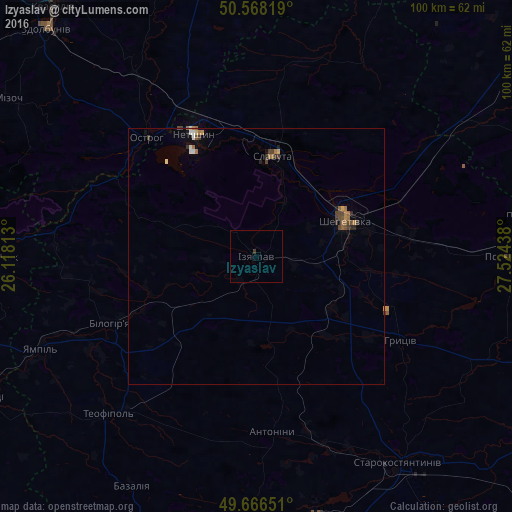
Analysis of Izyaslav night lights 2016
Square area 10x10 km:
 0%
0%90-99
0%80-89
0%70-79
0%60-69
0%50-59
0%40-49
0%30-39
0.53%20-29
0%10-19
0%0-9
99.47%Square area 50x50 km:
0.04%90-99
0.1%80-89
0.06%70-79
0.06%60-69
0.26%50-59
0.12%40-49
0.29%30-39
0.19%20-29
0.14%10-19
0.13%0-9
98.59%Clear (daylight) street map image can be seen on geolist.org.
Map coordinates:
50° 34' 5.5" North, 26° 7' 5.3" East
50° 7' 10.1" North, 26° 49' 16.5" East
49° 39' 59.4" North, 27° 31' 27.8" East
Some cities around Izyaslav sort by population:
• Shepetivka
18.8 km =11.7 mi,  66°
66°
• Starokostiantyniv
48.6 km =30.2 mi,  145°
145°
• Slavuta
20.5 km =12.7 mi,  8°
8°
• Netishyn
27.7 km =17.2 mi,  332°
332°
• Polonne
49.2 km =30.6 mi,  89°
89°
• Krasyliv
53.1 km =33 mi,  168°
168°
• Ostroh
32 km =19.9 mi,  316°
316°
• Poninka
51.5 km =32 mi,  81°
81°
707296 (p: 17,758)
Sources (retrieved 2019-11-25):
» Earth at Night: Flat Maps 2012, 2016