Netishyn night lights from space
Night Light of Netishyn (Khmelnytskyi) from space (Ukraine) Src. Average luminocity for 10x10km area is 10.1148% and for 50x50km: 0.6034%.
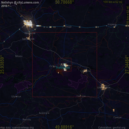
Analysis of Netishyn night lights 2016
Square area 10x10 km:
 1.12%
1.12%90-99
2.52%80-89
0.84%70-79
0.42%60-69
2.38%50-59
1.12%40-49
1.54%30-39
0.84%20-29
0.42%10-19
0.98%0-9
87.82%Square area 50x50 km:
0.04%90-99
0.11%80-89
0.07%70-79
0.02%60-69
0.13%50-59
0.07%40-49
0.13%30-39
0.1%20-29
0.08%10-19
0.1%0-9
99.15%Clear (daylight) street map image can be seen on geolist.org.
Map coordinates:
50° 47' 12" North, 25° 56' 18.9" East
50° 20' 24.1" North, 26° 38' 30.2" East
49° 53' 21" North, 27° 20' 41.4" East
Some cities around Netishyn sort by population:
• Rivne
43 km =26.7 mi,  317°
317°
• Shepetivka
34.6 km =21.5 mi,  119°
119°
• Slavuta
16.4 km =10.2 mi,  105°
105°
• Zdolbuniv
34.7 km =21.6 mi,  305°
305°
• Izyaslav
27.7 km =17.2 mi,  152°
152°
• Ostroh
9.1 km =5.7 mi,  262°
262°
• Korets
47.9 km =29.8 mi,  50°
50°
• Hoshcha
29 km =18 mi,  4°
4°
700261 (p: 33,063)
Sources (retrieved 2019-11-25):
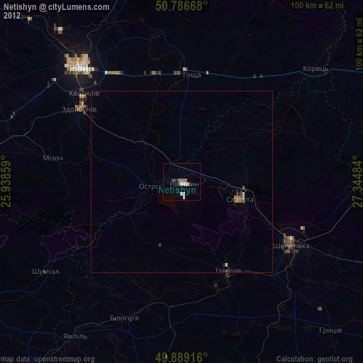
» Earth at Night: Flat Maps 2012, 2016