Shepetivka night lights from space
Night Light of Shepetivka (Khmelnytskyi) from space (Ukraine) Src. Average luminocity for 10x10km area is 8.7259% and for 50x50km: 0.5767%.
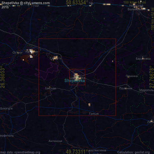
Analysis of Shepetivka night lights 2016
Square area 10x10 km:
 0%
0%90-99
0%80-89
0%70-79
1.07%60-69
3.34%50-59
1.74%40-49
4.41%30-39
2.27%20-29
1.6%10-19
0.53%0-9
85.03%Square area 50x50 km:
0%90-99
0%80-89
0.02%70-79
0.08%60-69
0.18%50-59
0.14%40-49
0.25%30-39
0.17%20-29
0.13%10-19
0.07%0-9
98.96%Clear (daylight) street map image can be seen on geolist.org.
Map coordinates:
50° 38' 0.7" North, 26° 21' 37.9" East
50° 11' 7.6" North, 27° 3' 49.1" East
49° 43' 59.2" North, 27° 46' 0.4" East
Some cities around Shepetivka sort by population:
• Slavuta
19.1 km =11.9 mi,  312°
312°
• Netishyn
34.6 km =21.5 mi,  299°
299°
• Polonne
32.6 km =20.3 mi,  102°
102°
• Izyaslav
18.8 km =11.7 mi,  246°
246°
• Ostroh
42.2 km =26.2 mi,  292°
292°
• Baranivka
44.3 km =27.5 mi,  73°
73°
• Korets
48.4 km =30.1 mi,  8°
8°
• Poninka
33.6 km =20.9 mi,  90°
90°
694216 (p: 46,419)
Sources (retrieved 2019-11-25):
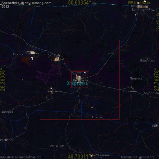
» Earth at Night: Flat Maps 2012, 2016