Poninka night lights from space
Night Light of Poninka (Khmelnytskyi) from space (Ukraine) Src. Average luminocity for 10x10km area is 0.3289% and for 50x50km: 0.0623%.
Analysis of Poninka night lights 2016
Square area 10x10 km:
 0%
0%90-99
0%80-89
0%70-79
0%60-69
0%50-59
0%40-49
0.53%30-39
0%20-29
0%10-19
0.53%0-9
98.93%Square area 50x50 km:
0%90-99
0%80-89
0%70-79
0%60-69
0%50-59
0.02%40-49
0.04%30-39
0.02%20-29
0.03%10-19
0.06%0-9
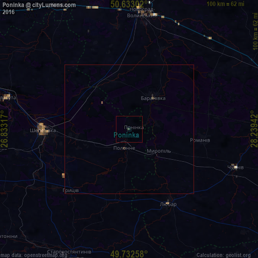
99.82%Clear (daylight) street map image can be seen on geolist.org.
Map coordinates:
50° 37' 58.9" North, 26° 49' 59.4" East
50° 11' 5.7" North, 27° 32' 10.6" East
49° 43' 57.3" North, 28° 14' 21.9" East
Some cities around Poninka sort by population:
• Novohrad-Volynskyi
45.9 km =28.5 mi,  7°
7°
• Shepetivka
33.6 km =20.9 mi,  270°
270°
• Starokostiantyniv
53.1 km =33 mi,  206°
206°
• Slavuta
49.5 km =30.8 mi,  285°
285°
• Polonne
7 km =4.3 mi,  195°
195°
• Izyaslav
51.5 km =32 mi,  261°
261°
• Baranivka
15.3 km =9.5 mi,  35°
35°
• Chudniv
44 km =27.3 mi,  109°
109°
696576 (p: 7,642)
Sources (retrieved 2019-11-25):
» Earth at Night: Flat Maps 2012, 2016