Polonne night lights from space
Night Light of Polonne (Khmelnytskyi) from space (Ukraine) Src. Average luminocity for 10x10km area is 0.2888% and for 50x50km: 0.1482%.
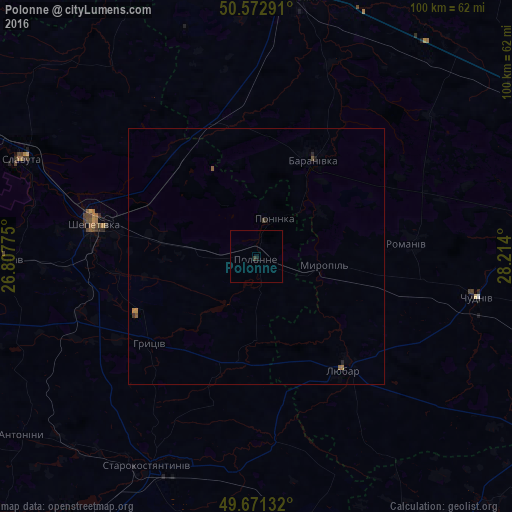
Analysis of Polonne night lights 2016
Square area 10x10 km:
 0%
0%90-99
0%80-89
0%70-79
0%60-69
0%50-59
0%40-49
0%30-39
0.53%20-29
0%10-19
0.53%0-9
98.93%Square area 50x50 km:
0%90-99
0%80-89
0%70-79
0.04%60-69
0.03%50-59
0.07%40-49
0.04%30-39
0.04%20-29
0.06%10-19
0.06%0-9
99.67%Clear (daylight) street map image can be seen on geolist.org.
Map coordinates:
50° 34' 22.5" North, 26° 48' 27.9" East
50° 7' 27.3" North, 27° 30' 39.1" East
49° 40' 16.8" North, 28° 12' 50.4" East
Some cities around Polonne sort by population:
• Novohrad-Volynskyi
52.8 km =32.8 mi,  8°
8°
• Shepetivka
32.6 km =20.3 mi,  282°
282°
• Starokostiantyniv
46.3 km =28.8 mi,  208°
208°
• Slavuta
50 km =31.1 mi,  293°
293°
• Izyaslav
49.2 km =30.6 mi,  269°
269°
• Baranivka
22 km =13.7 mi,  29°
29°
• Poninka
7 km =4.3 mi,  15°
15°
• Chudniv
44 km =27.3 mi,  100°
100°
696660 (p: 22,348)
Sources (retrieved 2019-11-25):
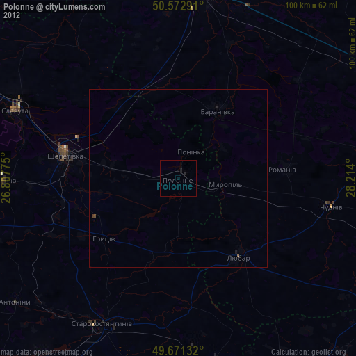
» Earth at Night: Flat Maps 2012, 2016