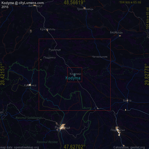
Kodyma night lights from space
Night Light of Kodyma (Odesa) from space (Ukraine) Src. Average luminocity for 10x10km area is 0.2143% and for 50x50km: 0.0295%.
Analysis of Kodyma night lights 2016
Square area 10x10 km:
 0%
0%90-99
0%80-89
0%70-79
0%60-69
0%50-59
0%40-49
0%30-39
0%20-29
0.3%10-19
0.89%0-9
98.81%Square area 50x50 km:
0%90-99
0%80-89
0%70-79
0%60-69
0%50-59
0%40-49
0%30-39
0.05%20-29
0.01%10-19
0.06%0-9
99.88%Clear (daylight) street map image can be seen on geolist.org.
Map coordinates:
48° 33' 58.3" North, 28° 25' 17.4" East
48° 5' 55.5" North, 29° 7' 28.7" East
47° 37' 37.3" North, 29° 49' 39.9" East
Some cities around Kodyma sort by population:
• Rîbniţa, MD
37.7 km =23.4 mi,  193°
193°
• Podil’s’k
49 km =30.4 mi,  141°
141°
• Balta
41.1 km =25.5 mi,  116°
116°
• Camenca, MD
32.5 km =20.2 mi,  256°
256°
• Rezina, MD
40.6 km =25.2 mi,  196°
196°
• Kryzhopil’
36.9 km =22.9 mi,  328°
328°
• Şoldăneşti, MD
39.8 km =24.7 mi,  217°
217°
• Chechelnyk
22.2 km =13.8 mi,  54°
54°
705493 (p: 9,276)
Sources (retrieved 2019-11-25):
» Earth at Night: Flat Maps 2012, 2016