Kryzhopil’ night lights from space
Night Light of Kryzhopil’ (Vinnyts'ka) from space (Ukraine) Src. Average luminocity for 10x10km area is 0.5426% and for 50x50km: 0.1059%.
Analysis of Kryzhopil’ night lights 2016
Square area 10x10 km:
 0%
0%90-99
0%80-89
0%70-79
0%60-69
0.28%50-59
0.28%40-49
0%30-39
0%20-29
0.57%10-19
0%0-9
98.86%Square area 50x50 km:
0%90-99
0%80-89
0%70-79
0%60-69
0.06%50-59
0.01%40-49
0.02%30-39
0.05%20-29
0.06%10-19
0.08%0-9
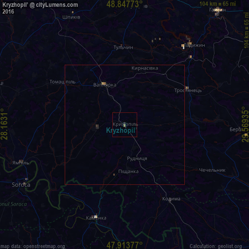
99.73%Clear (daylight) street map image can be seen on geolist.org.
Map coordinates:
48° 50' 51.8" North, 28° 9' 47.2" East
48° 22' 58.4" North, 28° 51' 58.4" East
47° 54' 49.6" North, 29° 34' 9.7" East
Some cities around Kryzhopil’ sort by population:
• Soroca, MD
49.8 km =30.9 mi,  239°
239°
• Ladyzhyn
43.3 km =26.9 mi,  39°
39°
• Tulchyn
32.5 km =20.2 mi,  357°
357°
• Camenca, MD
40.9 km =25.4 mi,  197°
197°
• Kodyma
36.9 km =22.9 mi,  148°
148°
• Vapnyarka
19.2 km =11.9 mi,  331°
331°
• Bratslav
49.2 km =30.6 mi,  6°
6°
• Chechelnyk
41.5 km =25.8 mi,  116°
116°
703840 (p: 9,024)
Sources (retrieved 2019-11-25):
» Earth at Night: Flat Maps 2012, 2016