Camenca night lights from space
Night Light of Camenca (Transnistria) from space (Moldova) Src. Average luminocity for 10x10km area is 1.6406% and for 50x50km: 0.0852%.
Analysis of Camenca night lights 2016
Square area 10x10 km:
 0.43%
0.43%90-99
0.14%80-89
0.14%70-79
0.43%60-69
0%50-59
0%40-49
0%30-39
0%20-29
1.7%10-19
0%0-9
97.16%Square area 50x50 km:
0.02%90-99
0.01%80-89
0.01%70-79
0.02%60-69
0%50-59
0%40-49
0%30-39
0.02%20-29
0.07%10-19
0%0-9
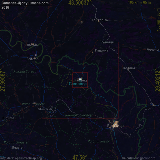
99.86%Clear (daylight) street map image can be seen on geolist.org.
Map coordinates:
48° 30' 1.3" North, 27° 59' 45.1" East
48° 1' 56.4" North, 28° 41' 56.4" East
47° 33' 36" North, 29° 24' 7.6" East
Some cities around Camenca sort by population:
• Rîbniţa
37.4 km =23.2 mi,  141°
141°
• Soroca
33.7 km =20.9 mi,  294°
294°
• Floreşti
34 km =21.1 mi,  242°
242°
• Rezina
37.2 km =23.1 mi,  147°
147°
• Kodyma, UA
32.5 km =20.2 mi,  76°
76°
• Kryzhopil’, UA
40.9 km =25.4 mi,  17°
17°
• Şoldăneşti
25.1 km =15.6 mi,  163°
163°
• Chechelnyk, UA
53.6 km =33.3 mi,  67°
67°
618453 (p: 11,072)
Sources (retrieved 2019-11-25):
» Earth at Night: Flat Maps 2012, 2016