Zanzibar night lights from space
Night Light of Zanzibar (Zanzibar Urban/West) from space (Tanzania) Src. Average luminocity for 10x10km area is 34.9587% and for 50x50km: 3.0748%.
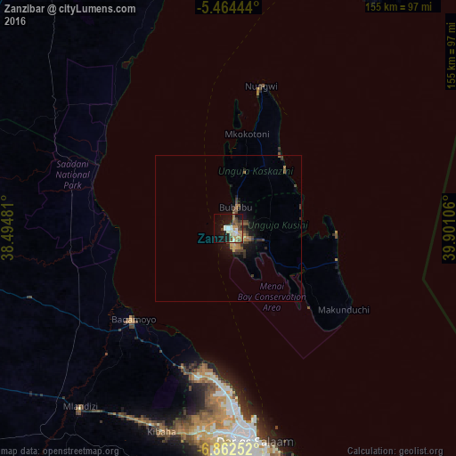
Analysis of Zanzibar night lights 2016
Square area 10x10 km:
 2.69%
2.69%90-99
7.23%80-89
3.51%70-79
9.09%60-69
2.89%50-59
4.75%40-49
8.68%30-39
2.48%20-29
4.75%10-19
28.93%0-9
25%Square area 50x50 km:
0.11%90-99
0.3%80-89
0.23%70-79
0.66%60-69
0.44%50-59
0.56%40-49
0.82%30-39
0.67%20-29
0.45%10-19
2.83%0-9
92.94%Clear (daylight) street map image can be seen on geolist.org.
Map coordinates:
5° 27' 52" South, 38° 29' 41.3" East
6° 9' 50.2" South, 39° 11' 52.5" East
6° 51' 45.1" South, 39° 54' 3.8" East
Some cities around Zanzibar sort by population:
• Bagamoyo
44.8 km =27.8 mi,  226°
226°
• Mvomero
59.5 km =37 mi,  260°
260°
• Sokoni
49.1 km =30.5 mi,  127°
127°
• Magomeni
71 km =44.1 mi,  175°
175°
• Nungwi
49.9 km =31 mi,  12°
12°
• Mahonda
43.5 km =27 mi,  136°
136°
• Mkokotoni
32.7 km =20.3 mi, 11°
• Koani
10 km =6.2 mi,  70°
70°
148730 (p: 403,658)
Sources (retrieved 2019-11-25):
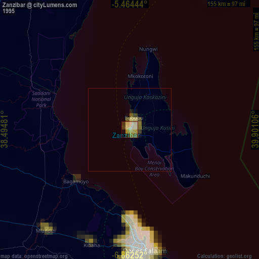
» NASA, Earths city lights 1995
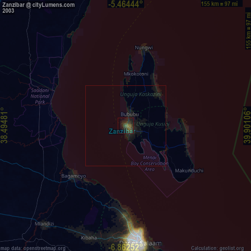
» NASA city lights 2003
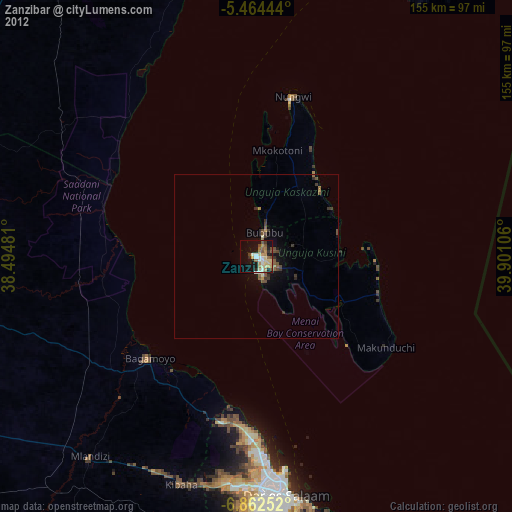
» Earth at Night: Flat Maps 2012, 2016