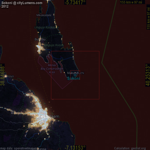
Sokoni night lights from space
Night Light of Sokoni (Zanzibar Central/South) from space (Tanzania) Src. Average luminocity for 10x10km area is 0% and for 50x50km: 0.0542%.
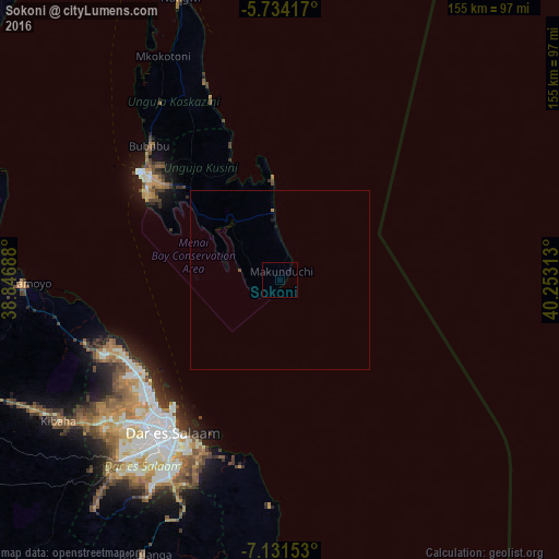
Analysis of Sokoni night lights 2016
Square area 10x10 km:
 0%
0%90-99
0%80-89
0%70-79
0%60-69
0%50-59
0%40-49
0%30-39
0%20-29
0%10-19
0%0-9
100%Square area 50x50 km:
0%90-99
0%80-89
0%70-79
0%60-69
0.03%50-59
0%40-49
0.03%30-39
0%20-29
0%10-19
0.07%0-9
99.86%Clear (daylight) street map image can be seen on geolist.org.
Map coordinates:
5° 44' 3" South, 38° 50' 48.8" East
6° 25' 60" South, 39° 33' 0" East
7° 7' 53.5" South, 40° 15' 11.3" East
Some cities around Sokoni sort by population:
• Dar es Salaam
53.3 km =33.1 mi,  215°
215°
• Zanzibar
49.1 km =30.5 mi,  307°
307°
• Bagamoyo
71.4 km =44.4 mi,  269°
269°
• Vikindu
69.5 km =43.2 mi,  203°
203°
• Magomeni
52.5 km =32.6 mi, 219°
• Mahonda
9.4 km =5.8 mi,  258°
258°
• Mkokotoni
70.1 km =43.6 mi,  332°
332°
• Koani
44.5 km =27.7 mi,  318°
318°
149812 (p: 25,821)
Sources (retrieved 2019-11-25):
» Earth at Night: Flat Maps 2012, 2016