Magomeni night lights from space
Night Light of Magomeni (Dar es Salaam) from space (Tanzania) Src. Average luminocity for 10x10km area is 94.5736% and for 50x50km: 30.6797%.
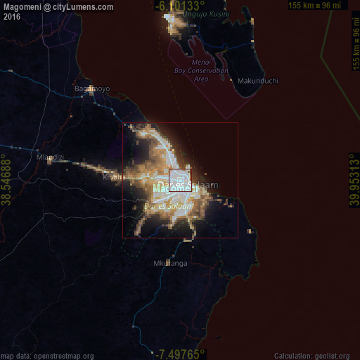
Analysis of Magomeni night lights 2016
Square area 10x10 km:
 60.82%
90-99
27.06%80-89
2.6%70-79
1.73%60-69
1.73%50-59
1.08%40-49
2.38%30-39
1.95%20-29
0.65%10-19
0%0-9
0%Square area 50x50 km:
5.97%90-99
7.24%80-89
2.52%70-79
4.68%60-69
4.86%50-59
4.2%40-49
4.86%30-39
3.15%20-29
5.48%10-19
10.31%0-9
46.72%Clear (daylight) street map image can be seen on geolist.org.
Map coordinates:
6° 6' 4.8" South, 38° 32' 48.8" East
6° 48' 0" South, 39° 15' 0" East
7° 29' 51.5" South, 39° 57' 11.3" East
Some cities around Magomeni sort by population:
• Dar es Salaam
3.4 km =2.1 mi,  140°
140°
• Bagamoyo
55.1 km =34.2 mi,  316°
316°
• Mkuranga
35.7 km =22.2 mi,  187°
187°
• Sokoni
52.5 km =32.6 mi,  39°
39°
• Kibaha
37 km =23 mi,  275°
275°
• Vikindu
23.6 km =14.7 mi,  166°
166°
• Kisarawe
23.1 km =14.4 mi,  241°
241°
• Mahonda
45.7 km =28.4 mi,  31°
31°
155321 (p: 19,086)
Sources (retrieved 2019-11-25):
» Earth at Night: Flat Maps 2012, 2016