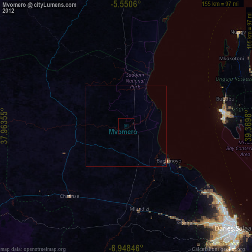
Mvomero night lights from space
Night Light of Mvomero (Pwani) from space (Tanzania) Src. Average luminocity for 10x10km area is 0% and for 50x50km: 0.0801%.
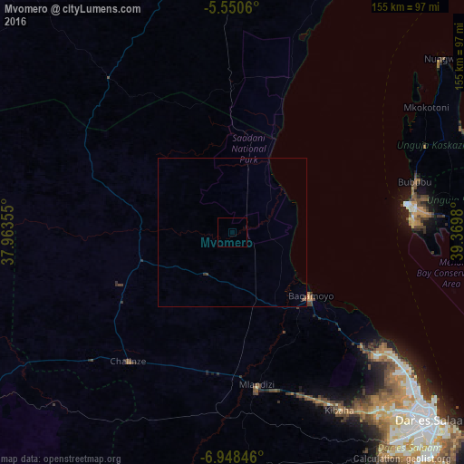
Analysis of Mvomero night lights 2016
Square area 10x10 km:
100  0%
0%
90-99 0%
80-89 0%
70-79 0%
60-69 0%
50-59 0%
40-49 0%
30-39 0%
20-29 0%
10-19 0%
0-9 100%
0%90-99
0%80-89
0%70-79
0%60-69
0%50-59
0%40-49
0%30-39
0%20-29
0%10-19
0%0-9
100%Square area 50x50 km:
100 0%
90-99 0%
80-89 0%
70-79 0%
60-69 0.02%
50-59 0.02%
40-49 0.06%
30-39 0.04%
20-29 0%
10-19 0%
0-9 99.86%
0%90-99
0%80-89
0%70-79
0%60-69
0.02%50-59
0.02%40-49
0.06%30-39
0.04%20-29
0%10-19
0%0-9
99.86%Clear (daylight) street map image can be seen on geolist.org.
Map coordinates:
5° 33' 2.2" South, 37° 57' 48.8" East
6° 15' 0" South, 38° 40' 0" East
6° 56' 54.5" South, 39° 22' 11.3" East
Some cities around Mvomero sort by population:
• Zanzibar
59.5 km =37 mi,  80°
80°
• Bagamoyo
33.9 km =21.1 mi,  129°
129°
• Chalinze
55.3 km =34.4 mi,  218°
218°
• Mlandizi
50.6 km =31.4 mi,  171°
171°
• Kibaha
63.7 km =39.6 mi,  154°
154°
• Lugoba
43 km =26.7 mi,  238°
238°
• Mkokotoni
77.3 km =48 mi,  57°
57°
• Koani
69.4 km =43.1 mi, 79°
152403 (p: 31,324)
Sources (retrieved 2019-11-25):
» Earth at Night: Flat Maps 2012, 2016