Mkokotoni night lights from space
Night Light of Mkokotoni (Zanzibar North) from space (Tanzania) Src. Average luminocity for 10x10km area is 0% and for 50x50km: 0.4955%.
Analysis of Mkokotoni night lights 2016
Square area 10x10 km:
 0%
0%90-99
0%80-89
0%70-79
0%60-69
0%50-59
0%40-49
0%30-39
0%20-29
0%10-19
0%0-9
100%Square area 50x50 km:
0%90-99
0%80-89
0%70-79
0.03%60-69
0.23%50-59
0.15%40-49
0.14%30-39
0.22%20-29
0.09%10-19
0.19%0-9
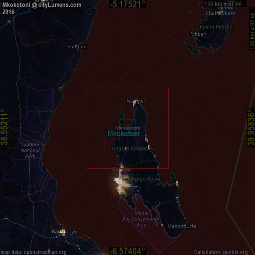
98.95%Clear (daylight) street map image can be seen on geolist.org.
Map coordinates:
5° 10' 30.8" South, 38° 33' 7.6" East
5° 52' 30.2" South, 39° 15' 18.8" East
6° 34' 26.5" South, 39° 57' 30.1" East
Some cities around Mkokotoni sort by population:
• Zanzibar
32.7 km =20.3 mi,  191°
191°
• Bagamoyo
74 km =46 mi,  211°
211°
• Sokoni
70.1 km =43.6 mi,  152°
152°
• Pangani
58.9 km =36.6 mi,  328°
328°
• Nungwi
17.2 km =10.7 mi,  16°
16°
• Mtambile
73.6 km =45.7 mi,  41°
41°
• Mahonda
68.1 km =42.3 mi,  159°
159°
• Koani
28.9 km =18 mi,  173°
173°
153585 (p: 2,572)
Sources (retrieved 2019-11-25):
» Earth at Night: Flat Maps 2012, 2016