Nungwi night lights from space
Night Light of Nungwi (Zanzibar North) from space (Tanzania) Src. Average luminocity for 10x10km area is 3.3595% and for 50x50km: 0.2162%.
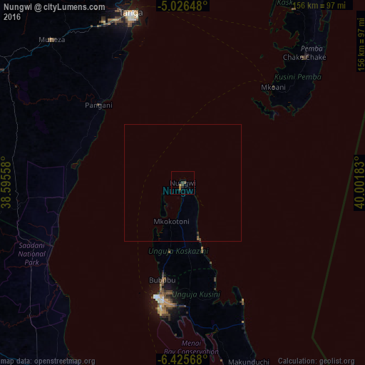
Analysis of Nungwi night lights 2016
Square area 10x10 km:
 0%
0%90-99
0%80-89
0%70-79
0%60-69
2.48%50-59
0.62%40-49
1.03%30-39
0.83%20-29
1.03%10-19
0.62%0-9
93.39%Square area 50x50 km:
0%90-99
0%80-89
0%70-79
0%60-69
0.14%50-59
0.06%40-49
0.05%30-39
0.1%20-29
0.05%10-19
0.06%0-9
99.54%Clear (daylight) street map image can be seen on geolist.org.
Map coordinates:
5° 1' 35.3" South, 38° 35' 44.1" East
5° 43' 35.4" South, 39° 17' 55.3" East
6° 25' 32.4" South, 40° 0' 6.6" East
Some cities around Nungwi sort by population:
• Zanzibar
49.9 km =31 mi,  192°
192°
• Tanga
76.4 km =47.5 mi,  343°
343°
• Chake Chake
74.4 km =46.2 mi,  44°
44°
• Majengo
73 km =45.4 mi,  331°
331°
• Pangani
49.1 km =30.5 mi,  313°
313°
• Mtambile
58.6 km =36.4 mi,  49°
49°
• Mkokotoni
17.2 km =10.7 mi,  196°
196°
• Koani
45.3 km =28.1 mi,  182°
182°
7284275 (p: 8,000)
Sources (retrieved 2019-11-25):
» Earth at Night: Flat Maps 2012, 2016