Uyovu night lights from space
Night Light of Uyovu (Geita) from space (Tanzania) Src. Average luminocity for 10x10km area is 0.0887% and for 50x50km: 0.0925%.
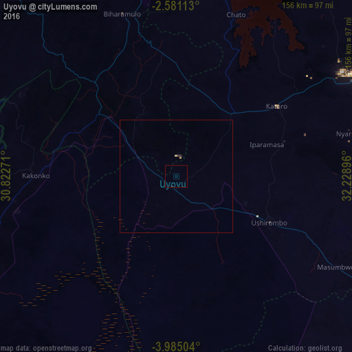
Analysis of Uyovu night lights 2016
Square area 10x10 km:
 0%
0%90-99
0%80-89
0%70-79
0%60-69
0%50-59
0%40-49
0%30-39
0%20-29
0%10-19
0.43%0-9
99.57%Square area 50x50 km:
0%90-99
0%80-89
0.03%70-79
0.03%60-69
0%50-59
0%40-49
0%30-39
0.03%20-29
0.03%10-19
0.03%0-9
99.83%Clear (daylight) street map image can be seen on geolist.org.
Map coordinates:
2° 34' 52.1" South, 30° 49' 21.8" East
3° 16' 60" South, 31° 31' 33" East
3° 59' 6.1" South, 32° 13' 44.3" East
Some cities around Uyovu sort by population:
• Ushirombo
53.9 km =33.5 mi,  115°
115°
• Buseresere
48.3 km =30 mi,  53°
53°
• Katoro
50.4 km =31.3 mi, 54°
• Geita
90.8 km =56.4 mi,  59°
59°
• Masumbwe
82.7 km =51.4 mi, 118°
• Biharamulo
76.3 km =47.4 mi,  341°
341°
• Chato
76.6 km =47.6 mi,  20°
20°
• Kakonko
62.3 km =38.7 mi,  270°
270°
149027 (p: 60,849)
Sources (retrieved 2019-11-25):
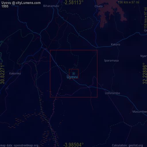
» NASA, Earths city lights 1995
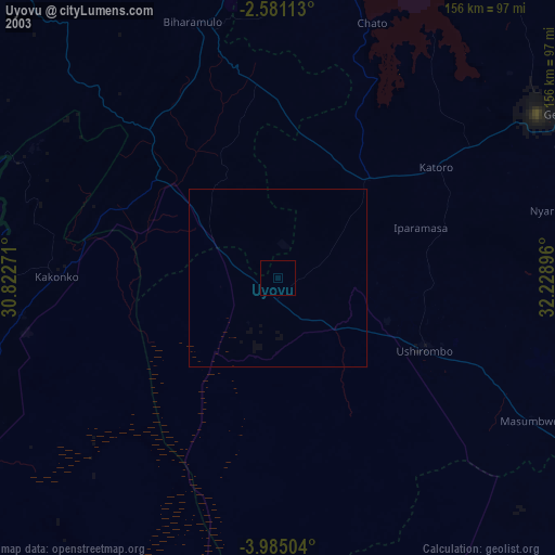
» NASA city lights 2003
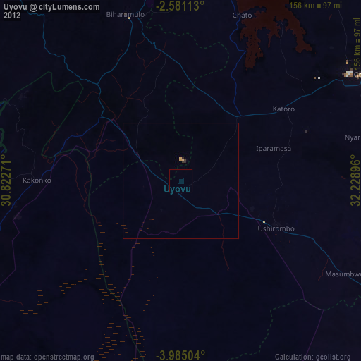
» Earth at Night: Flat Maps 2012, 2016