Ushirombo night lights from space
Night Light of Ushirombo (Geita) from space (Tanzania) Src. Average luminocity for 10x10km area is 0.0216% and for 50x50km: 0.0483%.
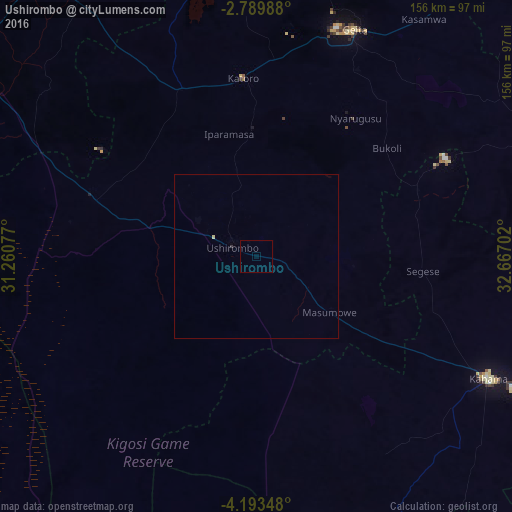

Analysis of Ushirombo night lights 2016
Square area 10x10 km:
 0%
0%90-99
0%80-89
0%70-79
0%60-69
0%50-59
0%40-49
0%30-39
0%20-29
0%10-19
0%0-9
100%Square area 50x50 km:
0%90-99
0%80-89
0.03%70-79
0%60-69
0%50-59
0%40-49
0%30-39
0.03%20-29
0%10-19
0%0-9
99.93%Clear (daylight) street map image can be seen on geolist.org.
Map coordinates:
2° 47' 23.6" South, 31° 15' 38.8" East
3° 29' 31" South, 31° 57' 50" East
4° 11' 36.5" South, 32° 40' 1.3" East
Some cities around Ushirombo sort by population:
• Uyovu
53.9 km =33.5 mi,  295°
295°
• Buseresere
53 km =32.9 mi,  349°
349°
• Katoro
53 km =32.9 mi, 351°
• Geita
75.1 km =46.7 mi,  23°
23°
• Kahama
80.1 km =49.8 mi,  118°
118°
• Masumbwe
29 km =18 mi, 122°
• Chato
97.5 km =60.6 mi, 347°
• Kasamwa
88.4 km =54.9 mi,  36°
36°
149129 (p: 95,052)
Sources (retrieved 2019-11-25):
» NASA, Earths city lights 1995
» NASA city lights 2003
» Earth at Night: Flat Maps 2012, 2016