Masumbwe night lights from space
Night Light of Masumbwe (Geita) from space (Tanzania) Src. Average luminocity for 10x10km area is 0% and for 50x50km: 0%.
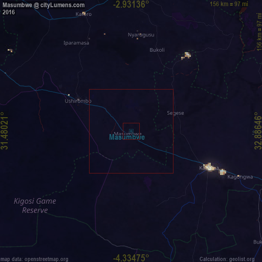
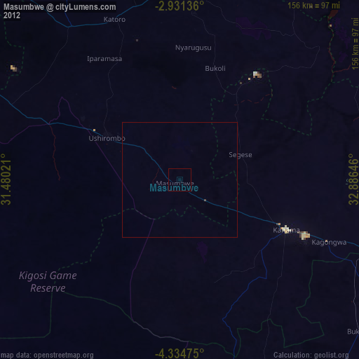
Analysis of Masumbwe night lights 2016
Square area 10x10 km:
100  0%
0%
90-99 0%
80-89 0%
70-79 0%
60-69 0%
50-59 0%
40-49 0%
30-39 0%
20-29 0%
10-19 0%
0-9 100%
0%90-99
0%80-89
0%70-79
0%60-69
0%50-59
0%40-49
0%30-39
0%20-29
0%10-19
0%0-9
100%Square area 50x50 km:
100 0%
90-99 0%
80-89 0%
70-79 0%
60-69 0%
50-59 0%
40-49 0%
30-39 0%
20-29 0%
10-19 0%
0-9 100%
0%90-99
0%80-89
0%70-79
0%60-69
0%50-59
0%40-49
0%30-39
0%20-29
0%10-19
0%0-9
100%Clear (daylight) street map image can be seen on geolist.org.
Map coordinates:
2° 55' 52.9" South, 31° 28' 48.8" East
3° 37' 60" South, 32° 10' 60" East
4° 20' 5.1" South, 32° 53' 11.3" East
Some cities around Masumbwe sort by population:
• Ushirombo
29 km =18 mi,  302°
302°
• Uyovu
82.7 km =51.4 mi, 298°
• Buseresere
76 km =47.2 mi,  333°
333°
• Katoro
75.3 km =46.8 mi, 334°
• Geita
84.8 km =52.7 mi,  3°
3°
• Kahama
51.3 km =31.9 mi,  115°
115°
• Mhango
83.6 km =51.9 mi,  62°
62°
• Isaka
88.3 km =54.9 mi,  109°
109°
154654 (p: 34,780)
Sources (retrieved 2019-11-25):
» Earth at Night: Flat Maps 2012, 2016