Biharamulo night lights from space
Night Light of Biharamulo (Kagera) from space (Tanzania) Src. Average luminocity for 10x10km area is 0.3896% and for 50x50km: 0.0156%.
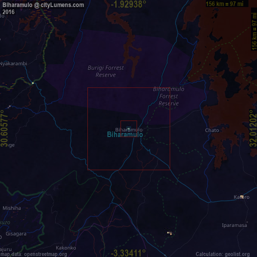
Analysis of Biharamulo night lights 2016
Square area 10x10 km:
 0%
0%90-99
0%80-89
0%70-79
0%60-69
0%50-59
0%40-49
0%30-39
0.87%20-29
0%10-19
0%0-9
99.13%Square area 50x50 km:
0%90-99
0%80-89
0%70-79
0%60-69
0%50-59
0%40-49
0%30-39
0.03%20-29
0%10-19
0%0-9
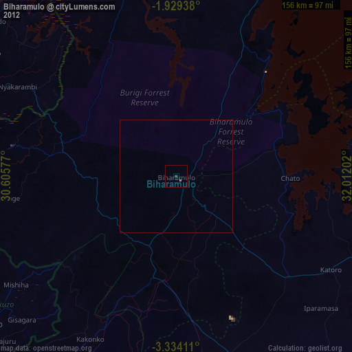
99.97%Clear (daylight) street map image can be seen on geolist.org.
Map coordinates:
1° 55' 45.8" South, 30° 36' 20.8" East
2° 37' 55" South, 31° 18' 32" East
3° 20' 2.8" South, 32° 0' 43.3" East
Some cities around Biharamulo sort by population:
• Uyovu
76.3 km =47.4 mi,  161°
161°
• Buseresere
76.5 km =47.5 mi,  124°
124°
• Katoro
78.2 km =48.6 mi, 123°
• Bugarama
90.7 km =56.4 mi,  252°
252°
• Chato
50.9 km =31.6 mi,  90°
90°
• Kakonko
81.9 km =50.9 mi,  207°
207°
• Rulenge
75.7 km =47 mi,  262°
262°
• Ngara
73.8 km =45.9 mi,  280°
280°
161154 (p: 34,038)
Sources (retrieved 2019-11-25):
» Earth at Night: Flat Maps 2012, 2016