Chato night lights from space
Night Light of Chato (Geita) from space (Tanzania) Src. Average luminocity for 10x10km area is 0% and for 50x50km: 0%.
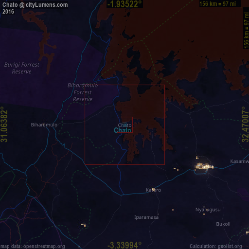
Analysis of Chato night lights 2016
Square area 10x10 km:
100  0%
0%
90-99 0%
80-89 0%
70-79 0%
60-69 0%
50-59 0%
40-49 0%
30-39 0%
20-29 0%
10-19 0%
0-9 100%
0%90-99
0%80-89
0%70-79
0%60-69
0%50-59
0%40-49
0%30-39
0%20-29
0%10-19
0%0-9
100%Square area 50x50 km:
100 0%
90-99 0%
80-89 0%
70-79 0%
60-69 0%
50-59 0%
40-49 0%
30-39 0%
20-29 0%
10-19 0%
0-9 100%
0%90-99
0%80-89
0%70-79
0%60-69
0%50-59
0%40-49
0%30-39
0%20-29
0%10-19
0%0-9
100%Clear (daylight) street map image can be seen on geolist.org.
Map coordinates:
1° 56' 6.8" South, 31° 3' 49.8" East
2° 38' 16" South, 31° 46' 1" East
3° 20' 23.8" South, 32° 28' 12.3" East
Some cities around Chato sort by population:
• Uyovu
76.6 km =47.6 mi,  200°
200°
• Buseresere
44.5 km =27.7 mi,  164°
164°
• Katoro
44.9 km =27.9 mi, 161°
• Geita
57.9 km =36 mi,  116°
116°
• Biharamulo
50.9 km =31.6 mi,  270°
270°
• Kasamwa
77.7 km =48.3 mi,  107°
107°
• Nshamba
96.4 km =59.9 mi,  345°
345°
• Muleba
89.6 km =55.7 mi, 351°
160552 (p: 27,776)
Sources (retrieved 2019-11-25):
» Earth at Night: Flat Maps 2012, 2016