Kakonko night lights from space
Night Light of Kakonko (Kigoma) from space (Tanzania) Src. Average luminocity for 10x10km area is 0% and for 50x50km: 0%.
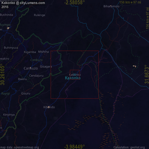
Analysis of Kakonko night lights 2016
Square area 10x10 km:
 0%
0%90-99
0%80-89
0%70-79
0%60-69
0%50-59
0%40-49
0%30-39
0%20-29
0%10-19
0%0-9
100%Square area 50x50 km:
0%90-99
0%80-89
0%70-79
0%60-69
0%50-59
0%40-49
0%30-39
0%20-29
0%10-19
0%0-9
100%Clear (daylight) street map image can be seen on geolist.org.
Map coordinates:
2° 34' 50.1" South, 30° 15' 39.8" East
3° 16' 58" South, 30° 57' 51" East
3° 59' 4.2" South, 31° 40' 2.3" East
Some cities around Kakonko sort by population:
• Uyovu
62.3 km =38.7 mi,  90°
90°
• Ruyigi, BI
82.3 km =51.1 mi,  254°
254°
• Biharamulo
81.9 km =50.9 mi,  27°
27°
• Bugarama
66.7 km =41.4 mi,  313°
313°
• Kibondo
43.3 km =26.9 mi,  218°
218°
• Rulenge
72.8 km =45.2 mi,  329°
329°
• Mabamba
62.2 km =38.6 mi,  235°
235°
• Cankuzo, BI
46.2 km =28.7 mi,  278°
278°
158563 (p: 24,688)
Sources (retrieved 2019-11-25):
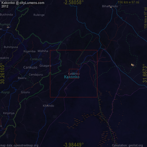
» Earth at Night: Flat Maps 2012, 2016