Katoro night lights from space
Night Light of Katoro (Geita) from space (Tanzania) Src. Average luminocity for 10x10km area is 2.1633% and for 50x50km: 0.1625%.
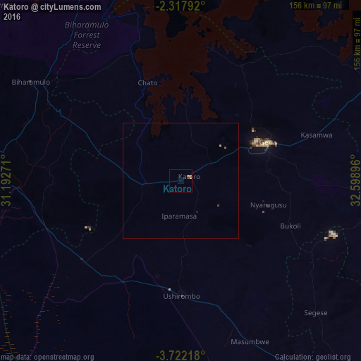
Analysis of Katoro night lights 2016
Square area 10x10 km:
 0%
0%90-99
0%80-89
0.23%70-79
0.68%60-69
0.45%50-59
1.36%40-49
0%30-39
0.91%20-29
0%10-19
0%0-9
96.37%Square area 50x50 km:
0%90-99
0%80-89
0.04%70-79
0.03%60-69
0.02%50-59
0.09%40-49
0.03%30-39
0.03%20-29
0%10-19
0.03%0-9
99.72%Clear (daylight) street map image can be seen on geolist.org.
Map coordinates:
2° 19' 4.5" South, 31° 11' 33.8" East
3° 1' 13" South, 31° 53' 45" East
3° 43' 19.8" South, 32° 35' 56.3" East
Some cities around Katoro sort by population:
• Ushirombo
53 km =32.9 mi,  171°
171°
• Uyovu
50.4 km =31.3 mi,  234°
234°
• Buseresere
2.4 km =1.5 mi,  261°
261°
• Geita
40.8 km =25.4 mi,  66°
66°
• Masumbwe
75.3 km =46.8 mi,  154°
154°
• Biharamulo
78.2 km =48.6 mi,  303°
303°
• Chato
44.9 km =27.9 mi,  341°
341°
• Kasamwa
62.6 km =38.9 mi, 72°
158160 (p: 49,691)
Sources (retrieved 2019-11-25):
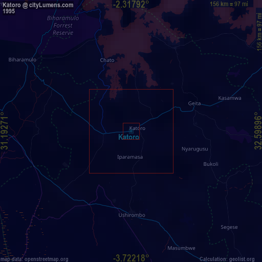
» NASA, Earths city lights 1995
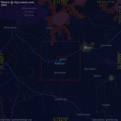
» NASA city lights 2003
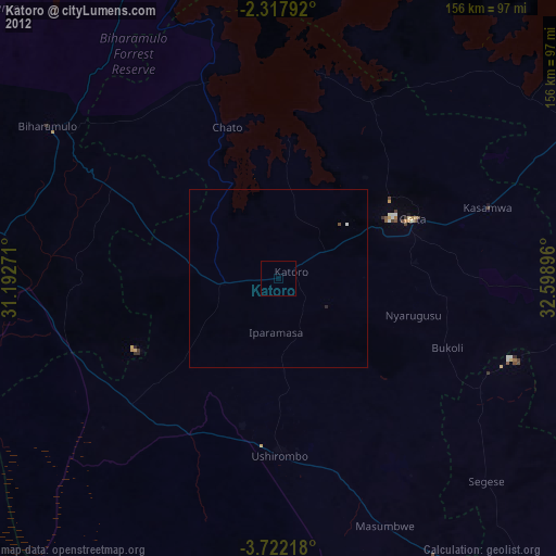
» Earth at Night: Flat Maps 2012, 2016