Mlandizi night lights from space
Night Light of Mlandizi (Pwani) from space (Tanzania) Src. Average luminocity for 10x10km area is 5.9394% and for 50x50km: 1.2603%.
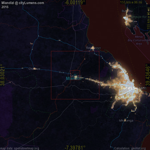
Analysis of Mlandizi night lights 2016
Square area 10x10 km:
 0%
0%90-99
0.43%80-89
0.43%70-79
0%60-69
0%50-59
2.6%40-49
2.81%30-39
2.38%20-29
3.46%10-19
0.87%0-9
87.01%Square area 50x50 km:
0%90-99
0.03%80-89
0.02%70-79
0.1%60-69
0.23%50-59
0.32%40-49
0.61%30-39
0.33%20-29
0.35%10-19
0.67%0-9
97.32%Clear (daylight) street map image can be seen on geolist.org.
Map coordinates:
6° 0' 4.3" South, 38° 1' 48.8" East
6° 42' 0" South, 38° 43' 60" East
7° 23' 52.1" South, 39° 26' 11.3" East
Some cities around Mlandizi sort by population:
• Bagamoyo
34.3 km =21.3 mi,  33°
33°
• Chalinze
42.5 km =26.4 mi,  279°
279°
• Mvomero
50.6 km =31.4 mi,  351°
351°
• Kibaha
21.6 km =13.4 mi,  110°
110°
• Magomeni
58.1 km =36.1 mi,  101°
101°
• Lugoba
52.2 km =32.4 mi,  302°
302°
• Kisarawe
43 km =26.7 mi,  121°
121°
• Maneromango
55.8 km =34.7 mi,  174°
174°
153412 (p: 29,394)
Sources (retrieved 2019-11-25):
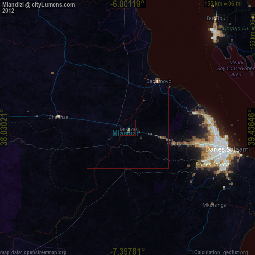
» Earth at Night: Flat Maps 2012, 2016