Lugoba night lights from space
Night Light of Lugoba (Pwani) from space (Tanzania) Src. Average luminocity for 10x10km area is 1.4069% and for 50x50km: 0.2205%.
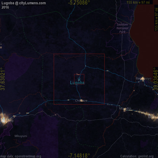
Analysis of Lugoba night lights 2016
Square area 10x10 km:
 0%
0%90-99
0%80-89
0%70-79
0%60-69
0%50-59
0%40-49
1.08%30-39
1.95%20-29
0.43%10-19
0%0-9
96.54%Square area 50x50 km:
0%90-99
0%80-89
0%70-79
0%60-69
0.06%50-59
0.04%40-49
0.11%30-39
0.11%20-29
0.17%10-19
0.02%0-9
99.48%Clear (daylight) street map image can be seen on geolist.org.
Map coordinates:
5° 45' 3.1" South, 37° 37' 48.8" East
6° 27' 0" South, 38° 19' 60" East
7° 8' 53.4" South, 39° 2' 11.3" East
Some cities around Lugoba sort by population:
• Morogoro
84.9 km =52.8 mi,  240°
240°
• Bagamoyo
63.1 km =39.2 mi,  89°
89°
• Chalinze
21 km =13 mi,  173°
173°
• Mvomero
43 km =26.7 mi,  58°
58°
• Mlandizi
52.2 km =32.4 mi,  122°
122°
• Kibaha
73.4 km =45.6 mi, 118°
• Ngerengere
41.1 km =25.5 mi,  215°
215°
• Kisarawe
95.2 km =59.2 mi, 121°
155743 (p: 16,902)
Sources (retrieved 2019-11-25):
» Earth at Night: Flat Maps 2012, 2016