Kibaha night lights from space
Night Light of Kibaha (Pwani) from space (Tanzania) Src. Average luminocity for 10x10km area is 17.8225% and for 50x50km: 9.1738%.
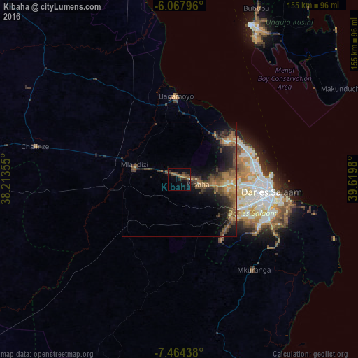
Analysis of Kibaha night lights 2016
Square area 10x10 km:
 0%
0%90-99
0.87%80-89
0%70-79
2.6%60-69
5.41%50-59
3.68%40-49
8.01%30-39
3.46%20-29
1.95%10-19
12.77%0-9
61.26%Square area 50x50 km:
0.04%90-99
0.63%80-89
0.37%70-79
1.62%60-69
2.39%50-59
2.35%40-49
3.37%30-39
1.78%20-29
2.66%10-19
6.09%0-9
78.7%Clear (daylight) street map image can be seen on geolist.org.
Map coordinates:
6° 4' 4.7" South, 38° 12' 48.8" East
6° 46' 0" South, 38° 55' 0" East
7° 27' 51.8" South, 39° 37' 11.3" East
Some cities around Kibaha sort by population:
• Dar es Salaam
39.5 km =24.5 mi,  99°
99°
• Bagamoyo
36.1 km =22.4 mi,  357°
357°
• Mlandizi
21.6 km =13.4 mi,  290°
290°
• Mkuranga
50.6 km =31.4 mi,  140°
140°
• Vikindu
49.9 km =31 mi,  122°
122°
• Magomeni
37 km =23 mi, 95°
• Kisarawe
22.2 km =13.8 mi,  131°
131°
• Maneromango
50.2 km =31.2 mi,  196°
196°
158027 (p: 23,651)
Sources (retrieved 2019-11-25):
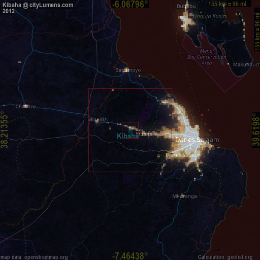
» Earth at Night: Flat Maps 2012, 2016