Maneromango night lights from space
Night Light of Maneromango (Pwani) from space (Tanzania) Src. Average luminocity for 10x10km area is 0% and for 50x50km: 0%.
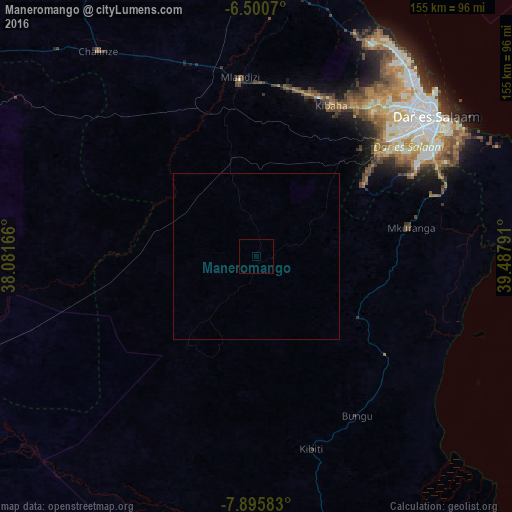
Analysis of Maneromango night lights 2016
Square area 10x10 km:
100  0%
0%
90-99 0%
80-89 0%
70-79 0%
60-69 0%
50-59 0%
40-49 0%
30-39 0%
20-29 0%
10-19 0%
0-9 100%
0%90-99
0%80-89
0%70-79
0%60-69
0%50-59
0%40-49
0%30-39
0%20-29
0%10-19
0%0-9
100%Square area 50x50 km:
100 0%
90-99 0%
80-89 0%
70-79 0%
60-69 0%
50-59 0%
40-49 0%
30-39 0%
20-29 0%
10-19 0%
0-9 100%
0%90-99
0%80-89
0%70-79
0%60-69
0%50-59
0%40-49
0%30-39
0%20-29
0%10-19
0%0-9
100%Clear (daylight) street map image can be seen on geolist.org.
Map coordinates:
6° 30' 2.5" South, 38° 4' 54" East
7° 11' 55.7" South, 38° 47' 5.2" East
7° 53' 45" South, 39° 29' 16.5" East
Some cities around Maneromango sort by population:
• Kibiti
60.5 km =37.6 mi,  163°
163°
• Mlandizi
55.8 km =34.7 mi,  354°
354°
• Mkuranga
47.5 km =29.5 mi,  79°
79°
• Bungu
57 km =35.4 mi,  148°
148°
• Kibaha
50.2 km =31.2 mi,  16°
16°
• Vikindu
60.6 km =37.7 mi,  69°
69°
• Magomeni
67.8 km =42.1 mi,  49°
49°
• Kisarawe
45.5 km =28.3 mi,  43°
43°
154915 (p: 9,402)
Sources (retrieved 2019-11-25):
» Earth at Night: Flat Maps 2012, 2016