Mabamba night lights from space
Night Light of Mabamba (Kigoma) from space (Tanzania) Src. Average luminocity for 10x10km area is 0% and for 50x50km: 0.0512%.
Analysis of Mabamba night lights 2016
Square area 10x10 km:
 0%
0%90-99
0%80-89
0%70-79
0%60-69
0%50-59
0%40-49
0%30-39
0%20-29
0%10-19
0%0-9
100%Square area 50x50 km:
0%90-99
0%80-89
0%70-79
0%60-69
0%50-59
0.03%40-49
0%30-39
0.05%20-29
0.05%10-19
0%0-9
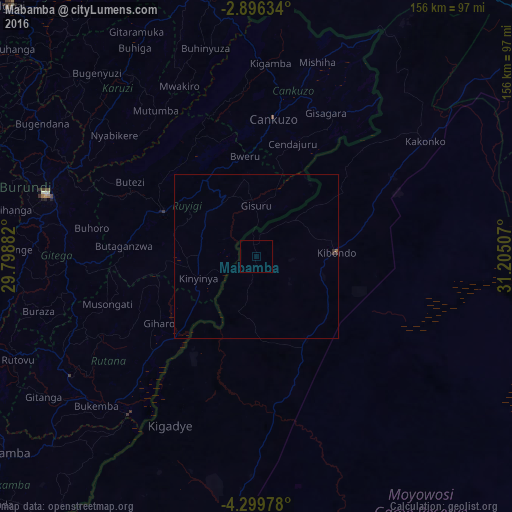
99.86%Clear (daylight) street map image can be seen on geolist.org.
Map coordinates:
2° 53' 46.8" South, 29° 47' 55.8" East
3° 35' 54" South, 30° 30' 7" East
4° 17' 59.2" South, 31° 12' 18.3" East
Some cities around Mabamba sort by population:
• Gitega, BI
66.8 km =41.5 mi,  286°
286°
• Ruyigi, BI
31.2 km =19.4 mi,  295°
295°
• Bugarama
81 km =50.3 mi,  2°
2°
• Kibondo
24.3 km =15.1 mi,  86°
86°
• Kakonko
62.2 km =38.6 mi,  55°
55°
• Rutana, BI
67.4 km =41.9 mi,  237°
237°
• Karuzi, BI
66.9 km =41.6 mi,  325°
325°
• Cankuzo, BI
42.6 km =26.5 mi,  7°
7°
155514 (p: 14,140)
Sources (retrieved 2019-11-25):
» Earth at Night: Flat Maps 2012, 2016