Kibondo night lights from space
Night Light of Kibondo (Kigoma) from space (Tanzania) Src. Average luminocity for 10x10km area is 1.2857% and for 50x50km: 0.0514%.
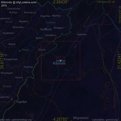

Analysis of Kibondo night lights 2016
Square area 10x10 km:
 0%
0%90-99
0%80-89
0%70-79
0%60-69
0%50-59
0.87%40-49
0%30-39
1.3%20-29
1.3%10-19
0%0-9
96.54%Square area 50x50 km:
0%90-99
0%80-89
0%70-79
0%60-69
0%50-59
0.03%40-49
0%30-39
0.05%20-29
0.05%10-19
0%0-9
99.86%Clear (daylight) street map image can be seen on geolist.org.
Map coordinates:
2° 53' 3.8" South, 30° 1' 1.8" East
3° 35' 11" South, 30° 43' 13" East
4° 17' 16.3" South, 31° 25' 24.3" East
Some cities around Kibondo sort by population:
• Gitega, BI
90.1 km =56 mi,  281°
281°
• Ruyigi, BI
53.8 km =33.4 mi, 283°
• Bugarama
82.4 km =51.2 mi,  344°
344°
• Kakonko
43.3 km =26.9 mi,  38°
38°
• Rutana, BI
89.3 km =55.5 mi,  244°
244°
• Mabamba
24.3 km =15.1 mi,  266°
266°
• Karuzi, BI
82.1 km =51 mi,  311°
311°
• Cankuzo, BI
44.9 km =27.9 mi, 335°
157960 (p: 28,666)
Sources (retrieved 2019-11-25):
» Earth at Night: Flat Maps 2012, 2016