Bugarama night lights from space
Night Light of Bugarama (Kagera) from space (Tanzania) Src. Average luminocity for 10x10km area is 0% and for 50x50km: 0.09%.
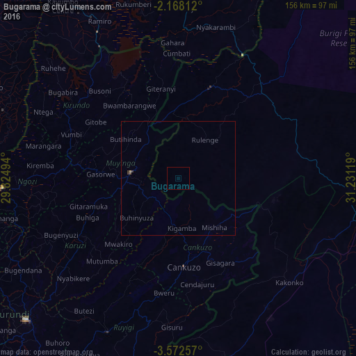
Analysis of Bugarama night lights 2016
Square area 10x10 km:
 0%
0%90-99
0%80-89
0%70-79
0%60-69
0%50-59
0%40-49
0%30-39
0%20-29
0%10-19
0%0-9
100%Square area 50x50 km:
0%90-99
0%80-89
0.03%70-79
0%60-69
0%50-59
0.03%40-49
0.03%30-39
0.09%20-29
0%10-19
0%0-9
99.83%Clear (daylight) street map image can be seen on geolist.org.
Map coordinates:
2° 10' 5.2" South, 29° 49' 29.8" East
2° 52' 14" South, 30° 31' 41" East
3° 34' 21.3" South, 31° 13' 52.3" East
Some cities around Bugarama sort by population:
• Muyinga, BI
20.9 km =13 mi,  277°
277°
• Kakonko
66.7 km =41.4 mi,  133°
133°
• Rulenge
20.6 km =12.8 mi,  34°
34°
• Kabanga
26.6 km =16.5 mi,  345°
345°
• Ngara
42.3 km =26.3 mi,  19°
19°
• Karuzi, BI
48 km =29.8 mi,  237°
237°
• Cankuzo, BI
38.8 km =24.1 mi,  175°
175°
• Kirundo, BI
57.6 km =35.8 mi,  303°
303°
161023 (p: 32,494)
Sources (retrieved 2019-11-25):
» Earth at Night: Flat Maps 2012, 2016